
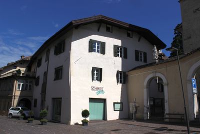
Spital, building in Kaltern
Location: Kaltern an der Weinstraße
GPS coordinates: 46.41365,11.24634
Latest update: March 3, 2025 15:08
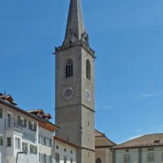
Assumption of Mary church
29 m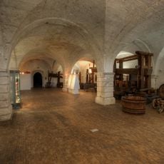
South Tyrolean Wine Museum
126 m
Piazza Principale
74 m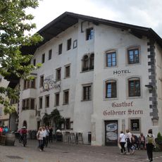
Gasthof Golderner Stern
51 m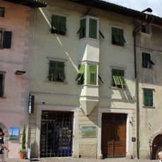
Andreas-Hofer-Straße 18
86 m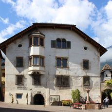
Maria-von-Buol-Platz 4
121 m
Goldgasse 8
126 m
Andreas-Hofer-Straße 34
29 m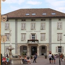
Rathaus
43 m
Goldgasse 3
110 m
Andreas-Hofer-Straße 16
94 m
Andreas-Hofer-Straße 20
74 m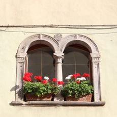
Goldgasse 5
119 m
Pfarrwidum Kaltern
53 m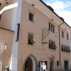
Gasthaus Turm
27 m
Marktplatz 10
73 m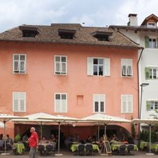
Marktplatz 6
53 m
Andreas-Hofer-Straße 13
43 m
Marktplatz 9
80 m
Goldgasse 6
112 m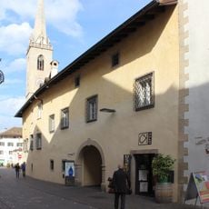
Pflegerhaus
83 m
Goldgasse 2
88 m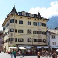
Gasthof zum weißen Rößl
70 m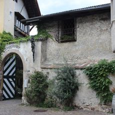
Torgglkeller
80 m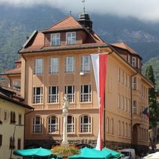
Volksschule
101 m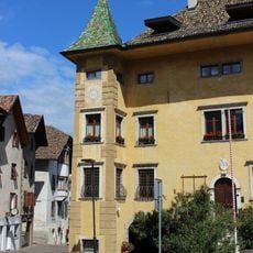
Tonvin
91 m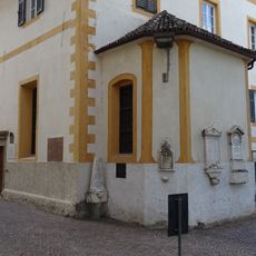
Holy Spirit chapel
25 m
Marktplatz 7
74 mReviews
Visited this place? Tap the stars to rate it and share your experience / photos with the community! Try now! You can cancel it anytime.
Discover hidden gems everywhere you go!
From secret cafés to breathtaking viewpoints, skip the crowded tourist spots and find places that match your style. Our app makes it easy with voice search, smart filtering, route optimization, and insider tips from travelers worldwide. Download now for the complete mobile experience.

A unique approach to discovering new places❞
— Le Figaro
All the places worth exploring❞
— France Info
A tailor-made excursion in just a few clicks❞
— 20 Minutes