Kaga Province, Historical province in Ishikawa Prefecture, Japan
The former province occupied the southwestern portion of what is now Ishikawa Prefecture, stretching from the Sea of Japan coast to the mountainous interior. The territory included four districts named Enuma, Ishikawa, Kahoku, and Nomi, which formed the foundation for today's municipal structure.
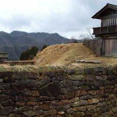
The territory was created in 823 through the division of Koshi Province and became the last administrative unit established under the ritsuryō system. During the early Sengoku period, the Ikkō-ikki religious group took control and established an independent governing system that lasted for several decades.
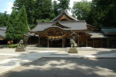
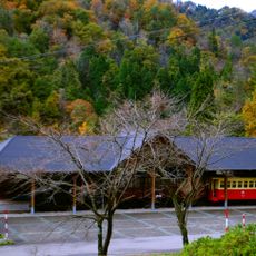
The Shirayama Hime Shrine in present-day Hakusan City served as the spiritual center of this region, drawing pilgrims from across the country. Visitors can still visit the shrine today and understand why it was regarded as a sacred site for centuries.
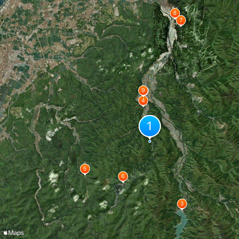
The boundaries of this former administrative unit roughly correspond to the southwestern part of modern Ishikawa Prefecture, so travelers can reach this region today through the capital city Kanazawa. The four historical districts have preserved their names in today's geography and help with orientation in the region.
For roughly 100 years from the late 15th to the late 16th century, this region was governed by a confederation of Buddhist communities without feudal rule. This self-governing system was exceptional in medieval Japan and only ended with the conquest by Oda Nobunaga.
The community of curious travelers
AroundUs brings together thousands of curated places, local tips, and hidden gems, enriched daily by 60,000 contributors worldwide.