
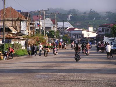
Mư̄ang Sai, district of Laos
GPS coordinates: 20.66444,101.95556
Latest update: July 5, 2025 10:11
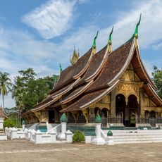
Wat Xieng Thong
87.6 km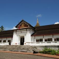
Royal Palace, Luang Prabang
88 km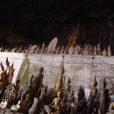
Pak Ou Caves
73.5 km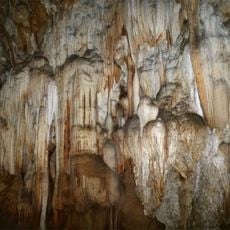
Nam Ha National Protected Area
75.1 km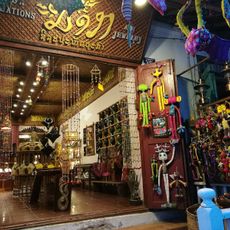
Night Market
88.2 km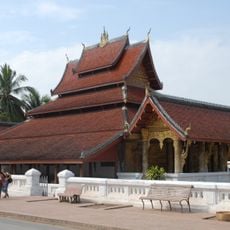
Wat Mai Suwannaphumaham
88.2 km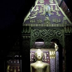
Wat Sen
87.8 km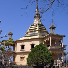
Wat Phol Phao
89.7 km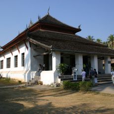
Vat Visounarath
88.6 km
Wat Manorom
89 km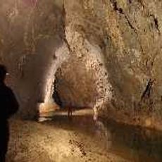
Chom Ong
9.6 km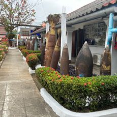
UXO Visitor's Center
89.1 km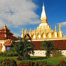
Luang Namtha Museum
68.5 km
Wat That Luang
88.8 km
TAEC Traditional Arts and Ethnology Centre
88.4 km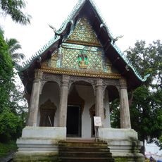
Wat Pa Huak
88.1 km
Wat Mahathat
88.4 km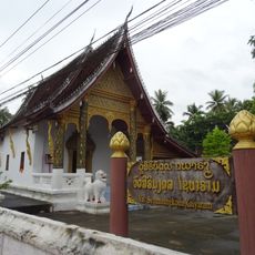
Wat Syrimoungkoun Xaiyaram
87.7 km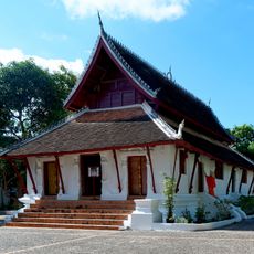
Wat Pak Khan
87.7 km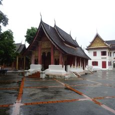
Wat Suwanna Khili
87.7 km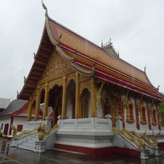
Vat Nong Sikhounmuang
87.8 km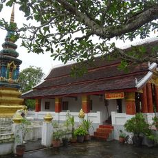
Wat Sop Sickharam
87.8 km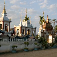
Wat Phabat Tai
88.8 km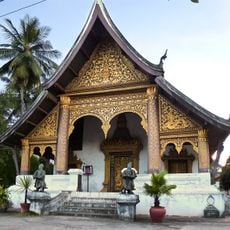
Vat Choum Khong
87.9 km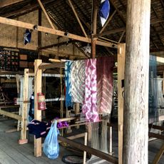
Ock Pop Tok Living Crafts Center
89.2 km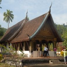
Wat Long Koon
87.1 km
Wat Aham
88.6 km
Wat Phonxay Sanasongkham
88.1 kmReviews
Visited this place? Tap the stars to rate it and share your experience / photos with the community! Try now! You can cancel it anytime.
Discover hidden gems everywhere you go!
From secret cafés to breathtaking viewpoints, skip the crowded tourist spots and find places that match your style. Our app makes it easy with voice search, smart filtering, route optimization, and insider tips from travelers worldwide. Download now for the complete mobile experience.

A unique approach to discovering new places❞
— Le Figaro
All the places worth exploring❞
— France Info
A tailor-made excursion in just a few clicks❞
— 20 Minutes