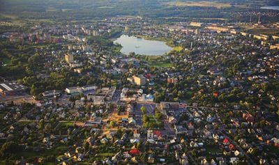
Utena, city and administrative center of Utena district and Utena County in north-east Lithuania
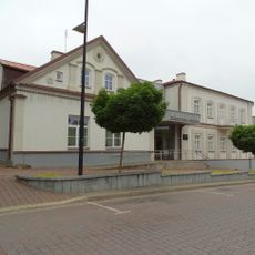
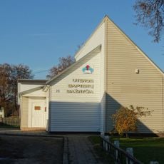
Utena is a city located in Utena District Municipality in the eastern part of Lithuania. It has a compact center with local shops, services, and public spaces that serve the community's everyday needs.
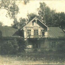
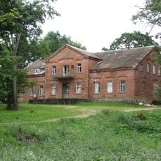
The city grew from a rural settlement into a regional center during the Soviet period when industry and infrastructure were expanded. After Lithuania's independence, it adapted to new economic and social changes affecting the region.
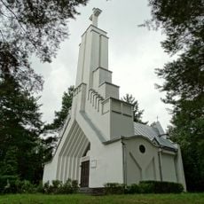
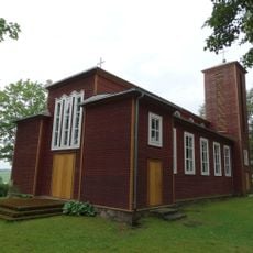
The name has Baltic roots connected to the local landscape and region's past. Residents gather regularly in public spaces for markets and community events that shape daily life here.
The city is accessible by public transport and road, with limited parking in the center that requires some walking. Most places can be reached on foot once you are in the main area.
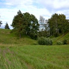
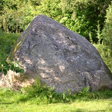
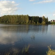
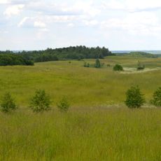
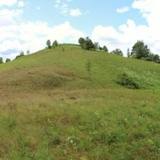
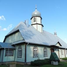
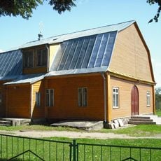
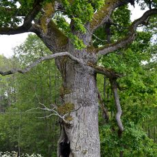
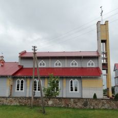
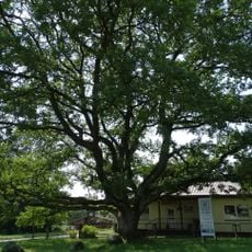
The city sits in an area surrounded by extensive woodlands that shape the local environment and offer outdoor opportunities. This forest setting sets it apart from larger urban centers in Lithuania.
The community of curious travelers
AroundUs brings together thousands of curated places, local tips, and hidden gems, enriched daily by 60,000 contributors worldwide.