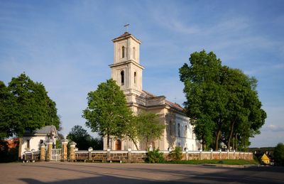
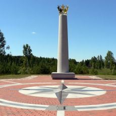
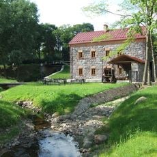
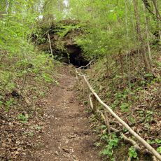
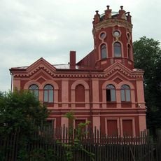
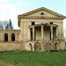
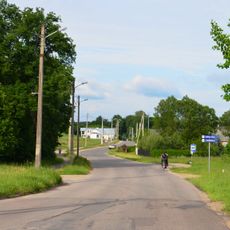
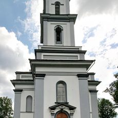
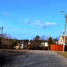
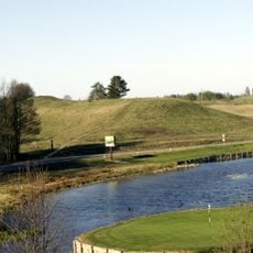
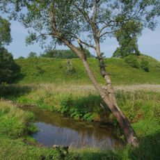
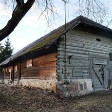
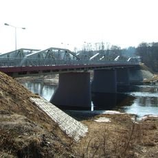
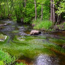
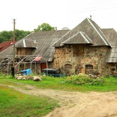
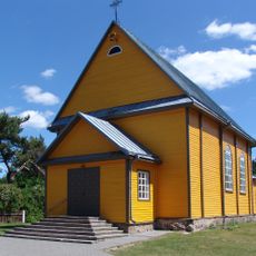
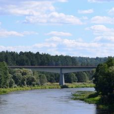
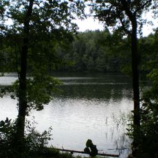
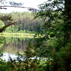
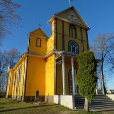
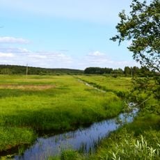
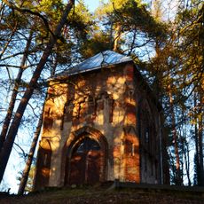
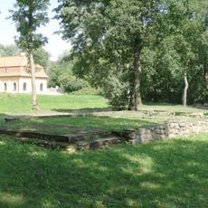
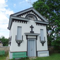
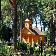
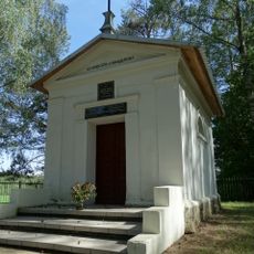
Nemenčinė, city
Location: Vilnius District Municipality
Elevation above the sea: 122 m
GPS coordinates: 54.85000,25.46667
Latest update: March 22, 2025 07:58
Europos Parkas
7.7 km
Liubavas Manor
8 km
The Holy Rock
7.7 km
Arvydai-Bezdonys Manor
6.7 km
Parczewskis palace
5.5 km
Ožkiniai
10.9 km
Church of St. Michael the Archangel, Nemenčinė
377 m
Wysmałki
10.1 km
Bernotų piliakalnis
11.3 km
Nemenčinė hillfort
1.3 km
Antaviliai mõis
7.5 km
Nemenčinė bridge
561 m
Verzuva Hydrographical Reserve
11.5 km
LNK Infomedis
7.7 km
Naujaneriai manor
9.9 km
Church of Our Lady of the Gate of Dawn, Mother of Mercy, Bezdonys
6.3 km
Naujasis Nemenčinės tiltas
1 km
Žalieji Ežerai Landscape Reserve
11.5 km
Tapeliai Landscape Reserve
8.2 km
Church of St. Anthony of Padua, Eitminiškės
9.5 km
Riešė Hydrographical Reserve
11.8 km
Radziszewski family chapel, Antaviliai
7.2 km
Liubavo dvaro koplyčia
8.2 km
Parczewski family chapel, Nemenčinė
349 m
Nemenčinė cemetery chapel
535 m
St. Ignatius Chapel, Pričiūnai
11.3 km
Pučkalaukio pilkapynas
1.3 km
Chapel in Eitminiškės
9.5 kmReviews
Visited this place? Tap the stars to rate it and share your experience / photos with the community! Try now! You can cancel it anytime.
Discover hidden gems everywhere you go!
From secret cafés to breathtaking viewpoints, skip the crowded tourist spots and find places that match your style. Our app makes it easy with voice search, smart filtering, route optimization, and insider tips from travelers worldwide. Download now for the complete mobile experience.
A unique approach to discovering new places❞
— Le Figaro
All the places worth exploring❞
— France Info
A tailor-made excursion in just a few clicks❞
— 20 Minutes