
Panoteriai, town
Location: Kaunas County
Elevation above the sea: 76 m
GPS coordinates: 55.19444,24.42778
Latest update: March 6, 2025 12:05

Siesikai Castle
11.6 km
Žeimiai Manor
12.6 km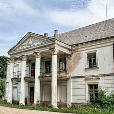
Vepriai Manor
10.3 km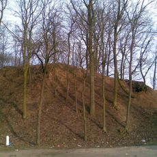
Lokėnėlių piliakalnis
12.7 km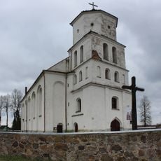
Church of St. Bartholomew, Siesikai
12.1 km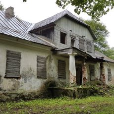
Bukonys manor
5.7 km
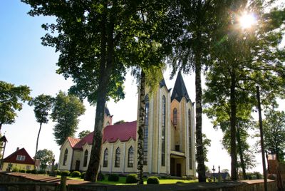
Church of the Discovery of the Holy Cross in Panoteriai
485 m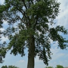
Atkočių tuopa
10.4 km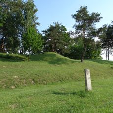
Paberžė hillfort
10.3 km
Juozapavos akmuo
12.2 km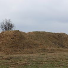
Piliakalniai hillfort
4 km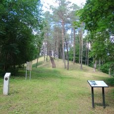
Dubiai hillfort
12.5 km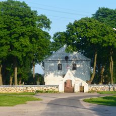
Church of St. Michael the Archangel, Bukonys
4.9 km
Gutshof Vainiai
11.7 km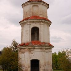
Žeimiai manor chapel
13.2 km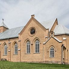
Church of Holy Virgin Mary the Queen of the Rosary, Vepriai
10.6 km
Church of St. Michael the Archangel, Upninkai
12.9 km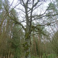
Veprių ąžuolas
11.3 km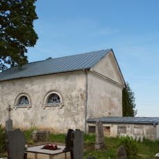
Siesikai cemetery chapel
12.9 km
Vainiai Manor Park
11.4 km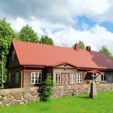
Panoteriai chapel
502 m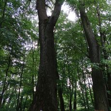
Vainiai poplar
11.7 km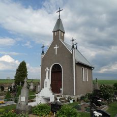
Lukšiai cemetery chapel
7.7 km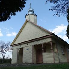
Old Believers Church in Baltromiškė
11.7 km
Bečių akmuo
10.4 km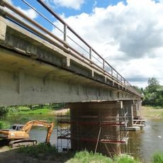
Upninkai bridge
13 km
Veprių Kristaus kapo koplyčia
10.6 km
Normainių akmuo
12.2 kmReviews
Visited this place? Tap the stars to rate it and share your experience / photos with the community! Try now! You can cancel it anytime.
Discover hidden gems everywhere you go!
From secret cafés to breathtaking viewpoints, skip the crowded tourist spots and find places that match your style. Our app makes it easy with voice search, smart filtering, route optimization, and insider tips from travelers worldwide. Download now for the complete mobile experience.

A unique approach to discovering new places❞
— Le Figaro
All the places worth exploring❞
— France Info
A tailor-made excursion in just a few clicks❞
— 20 Minutes