
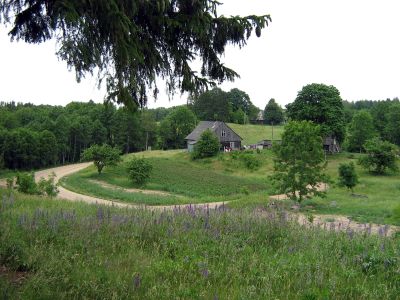
Plateliai Eldership, eldership in Telšiai County, Lithuania
Location: Plungė District Municipality
Capital city: Plateliai
GPS coordinates: 56.03333,21.75000
Latest update: March 31, 2025 10:11
Žemaitija National Park
8.7 km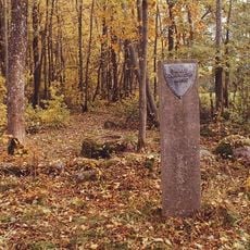
Salantai Regional Park
10.4 km
Raganos uosis
4.2 km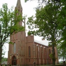
Church of St. Mark the Evangelist, Šateikiai
5.9 km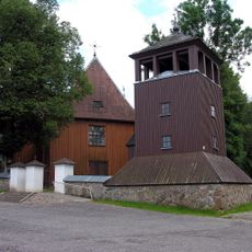
Church of St. Peter and St. Paul, Plateliai
4.2 km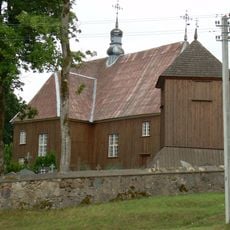
Church of St. Stanislaus the Bishop, Beržoras
4 km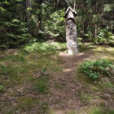
Paplatelė Educational Trail
9 km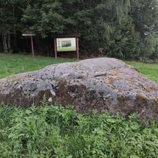
Stone Ubagų kalnas
2.8 km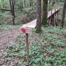
Liepijų miško pėsčiųjų trasa
2.2 km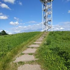
Siberijos Watchtower
4 km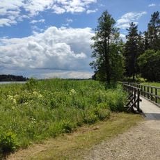
Šeirė Educational Trail
5.1 km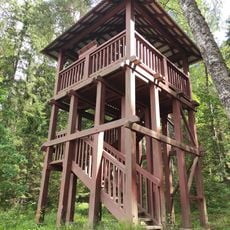
Paplatelė Trail Watchtower
9.1 km
Mikytų piliakalnis
11.3 km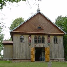
Church of St. Matthew, Gintališkė
2.4 km
Laivių piliakalnis
10.7 km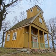
Bukantė chapel
5.9 km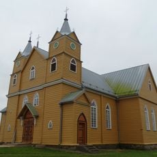
Church of St. Catherine the Martyr, Notėnai
7.8 km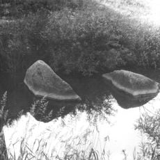
Laivių, Salantų Laumės kūlis
11.4 km
Užpelkių piliakalnis
6.2 km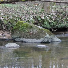
Laivių Laumės kūlis
10.5 km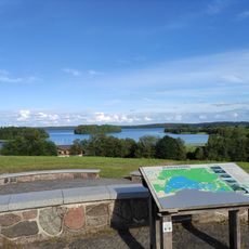
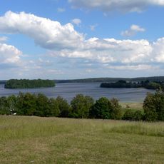
Plateliai Lake Lookout
5.1 km
Salantų Lietuvos tūkstantmečio paminklas
11.5 km
Salantų paminklas lietuvių tautos kančioms atminti
11.5 km
Pūčkorių 2 hillfort
11.2 km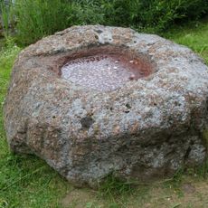
Gargždelės akmuo su dubeniu
8.8 km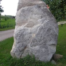
Imbarės II akmuo su dubenėliais
11.4 km
Laivių Kregždinkalnis
11.2 km
Imbarės akmuo su dubenėliais
11.3 kmReviews
Visited this place? Tap the stars to rate it and share your experience / photos with the community! Try now! You can cancel it anytime.
Discover hidden gems everywhere you go!
From secret cafés to breathtaking viewpoints, skip the crowded tourist spots and find places that match your style. Our app makes it easy with voice search, smart filtering, route optimization, and insider tips from travelers worldwide. Download now for the complete mobile experience.

A unique approach to discovering new places❞
— Le Figaro
All the places worth exploring❞
— France Info
A tailor-made excursion in just a few clicks❞
— 20 Minutes