
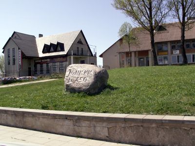
Joniškis, human settlement in Lithuania
Location: Molėtai District Municipality
GPS coordinates: 55.06694,25.65806
Latest update: March 2, 2025 23:28
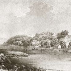
Dubingiai Castle
13.8 km
Asveja Regional Park
8.4 km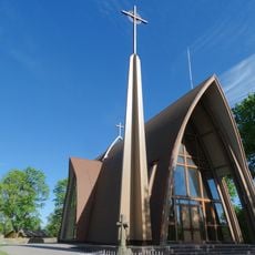
Church of St. George, Dubingiai
13.1 km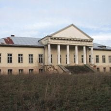
Arnioniai Manor
4.2 km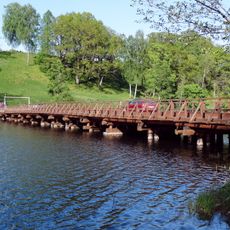
Dubingiai bridge
13.7 km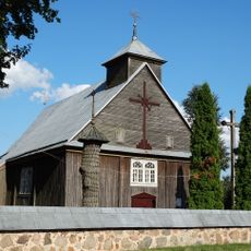
Church of the Assumption, Inturkė
11.9 km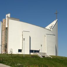
Church of the Blessed Virgin Mary, Queen of Families, Pabradė
11.5 km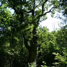
Alkūnų ąžuolas
7.9 km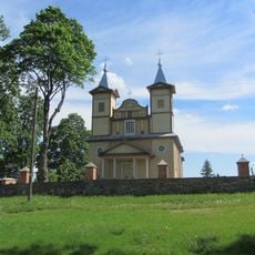
Church of St. James the Apostle, Joniškis
664 m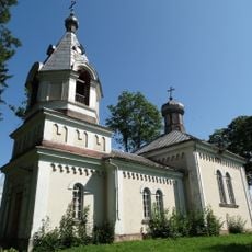
Orthodox church in Inturkė
12.2 km
Argirdiškės pušis
13.5 km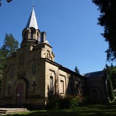
Saint Sergius of Radonezh Orthodox church in Pabradė
12.3 km
Abejučiai oak
9.5 km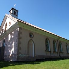
Church of St. Felix of Valois, Sužionys
12.8 km
Baltagalio pušis
12 km
Kertuoja hillfort
12.7 km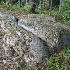
Lakajos akmuo
9.7 km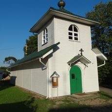
Old Believers Church in Pabradė
11.9 km
Abejučiai hillfort
9.3 km
Maldžiūnai Geomorphological Reserve
8.7 km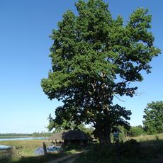
Karpakėlio pirmasis ąžuolas
7.5 km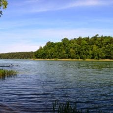
Jonėnai hillfort
10.1 km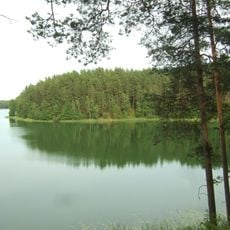
Baluoša hillfort
8 km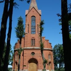
Church of St. Peter and St. Paul, Karkažiškė
14.2 km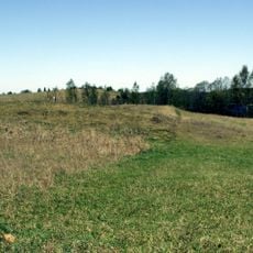
Bendžiukai hillfort
5.3 km
Dvyliškio pilkapynas
11.5 km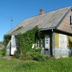
Skirlėnai chapel
11.2 km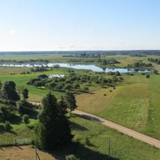
Karkažiškės tvenkinys
15 kmVisited this place? Tap the stars to rate it and share your experience / photos with the community! Try now! You can cancel it anytime.
Discover hidden gems everywhere you go!
From secret cafés to breathtaking viewpoints, skip the crowded tourist spots and find places that match your style. Our app makes it easy with voice search, smart filtering, route optimization, and insider tips from travelers worldwide. Download now for the complete mobile experience.

A unique approach to discovering new places❞
— Le Figaro
All the places worth exploring❞
— France Info
A tailor-made excursion in just a few clicks❞
— 20 Minutes