
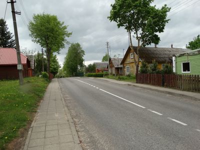
Balninkai, town
Location: Molėtai District Municipality
Elevation above the sea: 117 m
GPS coordinates: 55.29389,25.11889
Latest update: May 2, 2025 19:34
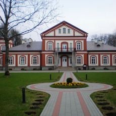
Alanta Manor
14.3 km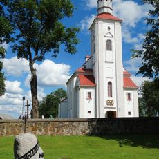
Church of Saint Lawrence in Videniškiai
13.2 km
Baltadvaris Castle
10.9 km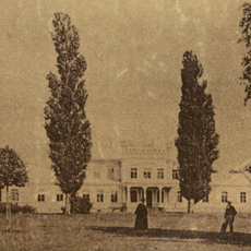
Lyduokiai mõis
11.9 km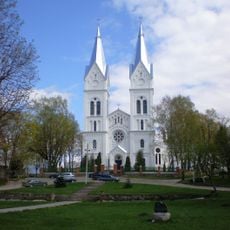
Church of St. James the Apostle, Alanta
12.9 km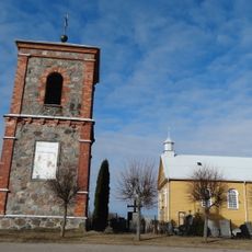
Church of St. Ignatius of Loyola, Želva
8.2 km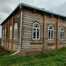
Synagogue of Alanta
12.6 km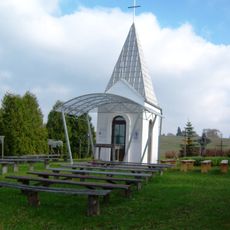
Chapel in Janonys
11.9 km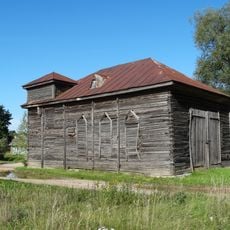
Kurkliai Synagogue
14 km
Gaigalų piliakalnis
12.8 km
Jokūbava manor
14.4 km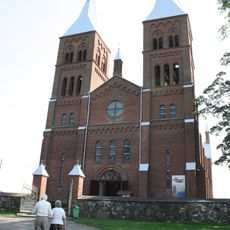
Church of St. Stanislaus the Bishop, Balninkai
349 m
Žižmaukos dvaras
13.7 km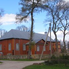
Church of St. George, Kurkliai
13.9 km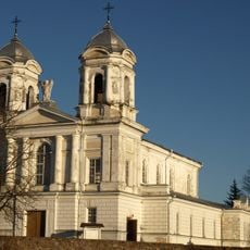
Church of St. Michael the Archangel, Lyduokiai
11.4 km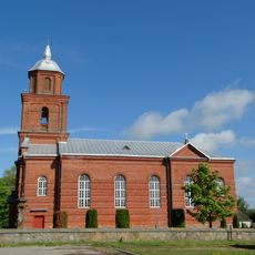
Church of St. Casimir, Žemaitkiemis
9.1 km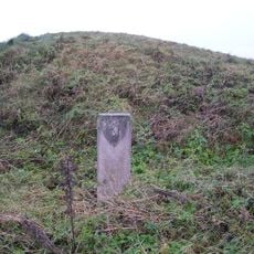
Berzgainiai hillfort
5 km
Vargulių piliakalnis
4.5 km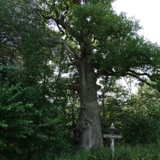
Virintos ąžuolas
9.8 km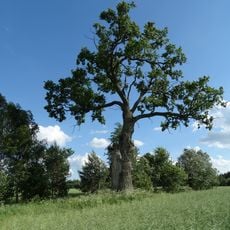
Lentvorų ąžuolas
13.6 km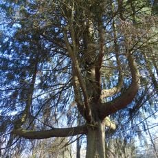
Bliūdašilio eglė
6.1 km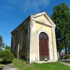
Chapel in Videniškiai
13 km
Maišiakulės piliakalnis
14.2 km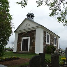
Skuolių koplyčia
8.9 km
Vališkių piliakalnis
2.5 km
Pakryžės piliakalnis
13 km
Baltadvario pilkapynai
10.5 km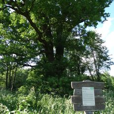
Felinkos ąžuolas
10.2 kmVisited this place? Tap the stars to rate it and share your experience / photos with the community! Try now! You can cancel it anytime.
Discover hidden gems everywhere you go!
From secret cafés to breathtaking viewpoints, skip the crowded tourist spots and find places that match your style. Our app makes it easy with voice search, smart filtering, route optimization, and insider tips from travelers worldwide. Download now for the complete mobile experience.

A unique approach to discovering new places❞
— Le Figaro
All the places worth exploring❞
— France Info
A tailor-made excursion in just a few clicks❞
— 20 Minutes