
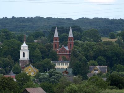
Užpaliai, human settlement in Lithuania
Location: Utena District Municipality
Elevation above the sea: 92 m
GPS coordinates: 55.63333,25.58333
Latest update: May 1, 2025 06:50

Bikuškis Manor
7.5 km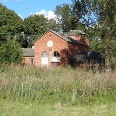
Vyžuonų dvaras
8.5 km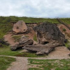
Šeimyniškiai outcrop
2.3 km
Vyžuonėlės manor
12 km
Church of the Providence of God, Utena
14 km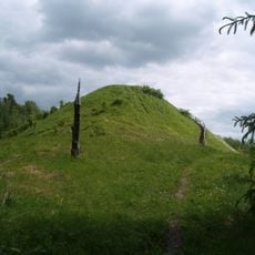
Šeimyniškiai hillfort
3.9 km
Jotaučiai Manor
12.8 km
Church of the Holy Trinity, Užpaliai
475 m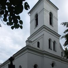
Church of St. George, Vyžuonos
7.7 km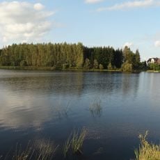
Utena pond
13.1 km
Maneičių piliakalnis
8.8 km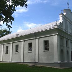
Church of the Blessed Virgin Mary, Sudeikiai
8.5 km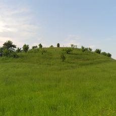
Užpaliai hillfort
1.5 km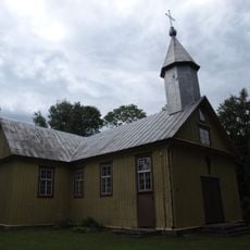
Church of St. Anne, Duokiškis
12.8 km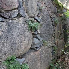
Wall-rue habitat
13.2 km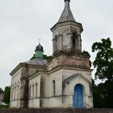
Orthodox church in Užpaliai
840 m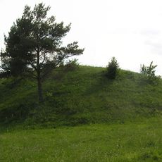
Lygamiškio piliakalnis
1.1 km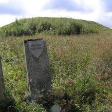
Gutaučiai hillfort
13.8 km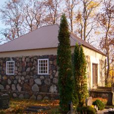
Papšiai chapel
14.1 km
Old Believers Church in Stalnioniškis
10 km
Zabičiūnai hillfort
14.1 km
Dauliūnų piliakalnis
14 km
Gaigaliai hillfort, Utena
2.5 km
Savičiūnų tvenkinys
13.2 km
Taukeliai Chapel
13.8 km
Baltakarčių piliakalnis
6.6 km
Radeikiai chapel
13.4 km
Bikūnų II piliakalnis
10.7 kmVisited this place? Tap the stars to rate it and share your experience / photos with the community! Try now! You can cancel it anytime.
Discover hidden gems everywhere you go!
From secret cafés to breathtaking viewpoints, skip the crowded tourist spots and find places that match your style. Our app makes it easy with voice search, smart filtering, route optimization, and insider tips from travelers worldwide. Download now for the complete mobile experience.

A unique approach to discovering new places❞
— Le Figaro
All the places worth exploring❞
— France Info
A tailor-made excursion in just a few clicks❞
— 20 Minutes