
Kavarskas, city in Aukštaitija, Lithuania
Location: Anykščiai District Municipality
Elevation above the sea: 82 m
GPS coordinates: 55.43333,24.92778
Latest update: March 29, 2025 05:02

Puntukas
10 km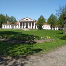
Taujėnai Manor
11.3 km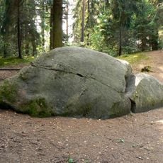
Boulder "Puntuko brolis"
12.2 km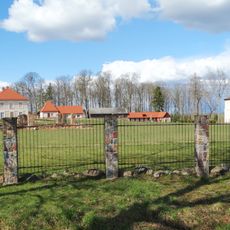
Pienionys Manor
4.5 km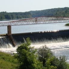
Kavarsko tvenkinys
1.4 km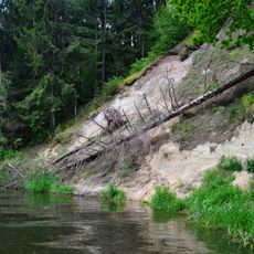
Vetygala outcrop
5.2 km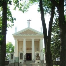
Church of the Exaltation of the Holy Cross, Taujėnai
11.6 km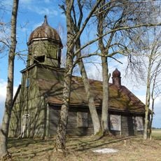
Old Believers Church in Girelė
2.9 km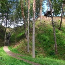
Daumantai outcrop
4 km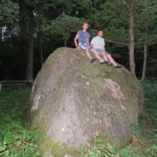
Barboros akmuo
12 km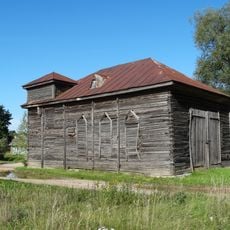
Kurkliai Synagogue
8.8 km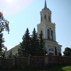
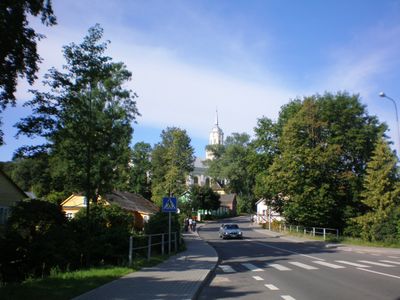
Church of St. John the Baptist, Kavarskas
55 m
Šventieji ąžuolai
9.9 km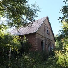
Jokūbava manor
5.5 km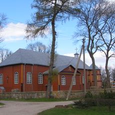
Church of St. George, Kurkliai
8.7 km
Pavirinčiai manor
7.6 km
Šlavėnų dvaras
12.9 km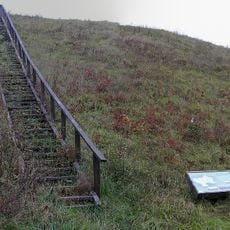
Svirnų piliakalnis
7.4 km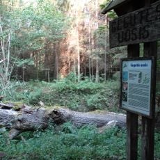
Gegutės uosis
9.6 km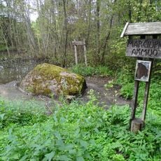
Marčiupio akmuo
13.5 km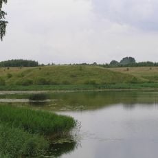
Pienionių tvenkinys
3.9 km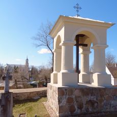
Kavarskas cemetery chapel
272 m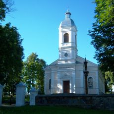
Church of St. Anne, Traupis
14.2 km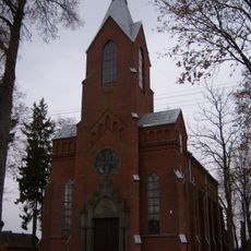
Church of the Ascension of Christ, Dabužiai
9 km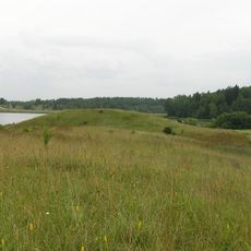
Šovenių piliakalnis
3.8 km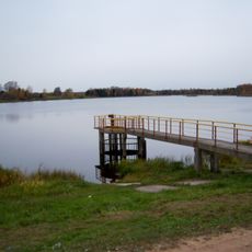
Dabužių tvenkinys
6.6 km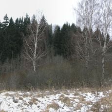
Marijampolio piliakalnis
5.8 km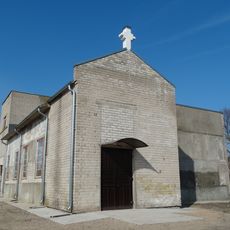
Balelių šv. Jono Pauliaus II koplyčia
13.9 kmVisited this place? Tap the stars to rate it and share your experience / photos with the community! Try now! You can cancel it anytime.
Discover hidden gems everywhere you go!
From secret cafés to breathtaking viewpoints, skip the crowded tourist spots and find places that match your style. Our app makes it easy with voice search, smart filtering, route optimization, and insider tips from travelers worldwide. Download now for the complete mobile experience.

A unique approach to discovering new places❞
— Le Figaro
All the places worth exploring❞
— France Info
A tailor-made excursion in just a few clicks❞
— 20 Minutes