Anykščiai District Municipality
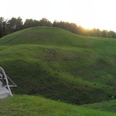
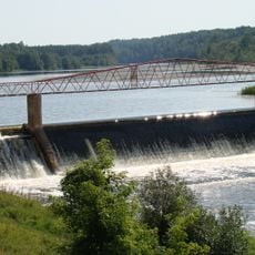
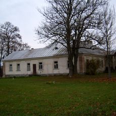
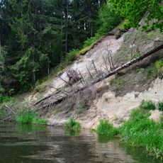
Anykščiai District Municipality, municipality in Lithuania
Location: Lithuania
Inception: 1950
Capital city: Anykščiai
Shares border with: Panevėžys District Municipality, Kupiškis District Municipality, Rokiškis District Municipality, Utena District Municipality, Molėtai District Municipality, Ukmergė District Municipality
Email: info@anyksciai.lt
Website: https://anyksciai.lt
GPS coordinates: 55.53333,25.10000
Latest update: March 15, 2025 18:37
Puntukas
6.1 km
Taujėnai Manor
26.2 km
Church of St. Matthew, Anykščiai
990 m
Alanta Manor
25.2 km
Anykščiai Regional Park
3.6 km
Šeimyniškėliai hillfort
2.8 km
Burbiškis Manor
8.2 km
Raguvėlė Manor
30.4 km
Boulder "Puntuko brolis"
3.4 km
Adomynė Manor
27.3 km
Svėdasai manor
24.5 km
Church of the Holy Trinity, Troškūnai
15.6 km
Horse Museum
4.6 km
Monastery of the Holy Spirit, Sudergis
23.7 km
Skudutiškis
28.1 km
Mikieriai footbridge
14.8 km
Vyžuonų dvaras
25.5 km
Pienionys Manor
15.1 km
Church of St. James the Apostle, Alanta
23.8 km
Palatavys hillfort
7.8 km
Kavarsko tvenkinys
14.3 km
Liudiškiai hillfort
3.5 km
Sedeikiai manor
13.9 km
Vetygala outcrop
10.7 km
Synagogue of Alanta
23.8 km
Church of St. Michael the Archangel, Svėdasai
23.4 km
Church of St. Joseph, Leliūnai
19.8 km
Variaus atodanga
5 kmReviews
Visited this place? Tap the stars to rate it and share your experience / photos with the community! Try now! You can cancel it anytime.
Discover hidden gems everywhere you go!
From secret cafés to breathtaking viewpoints, skip the crowded tourist spots and find places that match your style. Our app makes it easy with voice search, smart filtering, route optimization, and insider tips from travelers worldwide. Download now for the complete mobile experience.
A unique approach to discovering new places❞
— Le Figaro
All the places worth exploring❞
— France Info
A tailor-made excursion in just a few clicks❞
— 20 Minutes