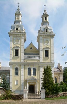
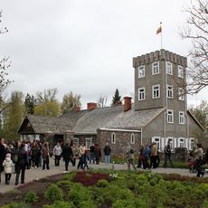
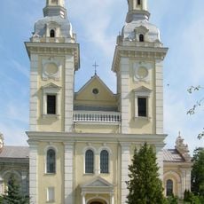
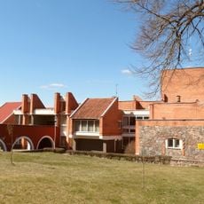
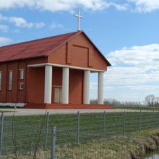
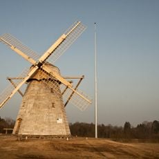
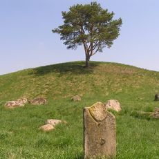
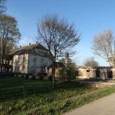
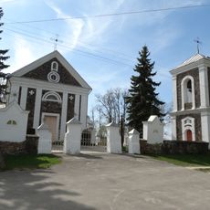
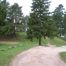
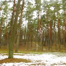
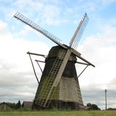
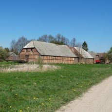
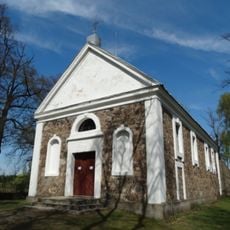
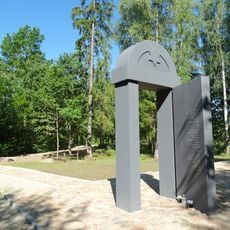
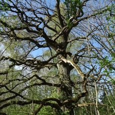
Šeduva, city in Aukštaitija, Lithuania
Location: Radviliškis District Municipality
Elevation above the sea: 87 m
GPS coordinates: 55.76667,23.75000
Latest update: April 2, 2025 03:53
Burbiškis Manor
9.4 km
Church of the Discovery of the Holy Cross in Šeduva
1.2 km
Raudondvaris
3.5 km
Church of St. Casimir, Rokoniai
9.4 km
Kleboniškiai windmill
6.3 km
Raginėnai hillfort
7.8 km
Radvilonių dvaras
7.3 km
Church of the Holy Trinity, Sidabravas
13.5 km
Velžiai hillfort
6.3 km
Pakalniškiai hillfort, Radviliškis
6.6 km
Paežeriai windmill
6.3 km
Kurkliai manor, Radviliškis
7.2 km
Church of the Providence of God in Dambava
9.1 km
Šeduva Holocaust Memorial I
10 km
Radvilioniai oak
8.7 km
Kurkliai oak
7.6 km
Šeduva Holocaust Memorial II
9.9 km
Linkaičiai oak
7.6 km
Kurklių akmuo
4.2 km
Baltoji windmill
3.7 km
Radvilioniai forest oak
6.7 km
Liaudiškių pušis
10 km
Aukštelkai oak
11.7 km
Chapel in Vismantai
13.4 km
Verdulių akmuo
7.4 km
Linkaičių pušis
6.3 km
Alksniupiai chapel
5 km
Daukonių akmuo
8.8 kmReviews
Visited this place? Tap the stars to rate it and share your experience / photos with the community! Try now! You can cancel it anytime.
Discover hidden gems everywhere you go!
From secret cafés to breathtaking viewpoints, skip the crowded tourist spots and find places that match your style. Our app makes it easy with voice search, smart filtering, route optimization, and insider tips from travelers worldwide. Download now for the complete mobile experience.
A unique approach to discovering new places❞
— Le Figaro
All the places worth exploring❞
— France Info
A tailor-made excursion in just a few clicks❞
— 20 Minutes