
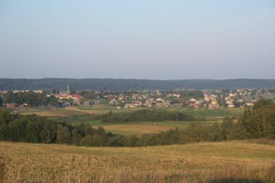
Semeliškės, human settlement in Lithuania
Location: Elektrėnai Municipality
Elevation above the sea: 115 m
GPS coordinates: 54.66667,24.65833
Latest update: August 9, 2025 10:26

Velnias Sinkhole
11.1 km
Elektrėnai Reservoir
10 km
Aukštadvaris Regional Park
11.6 km
Strėvos įgriuva
9.4 km
Pastrėvys
5.8 km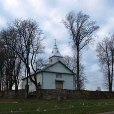
Beižionys
11.7 km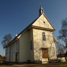
Church of Saint Lawrence in Semeliškės
401 m
Church of the transfiguration of Jesus Christ in Aukštadvaris
12.7 km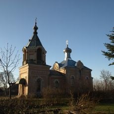
St. Nicholas Church, Semeliškės
60 m
Pipiriškės hillfort
8.4 km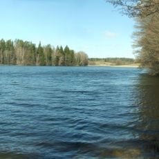
Isper
7.7 km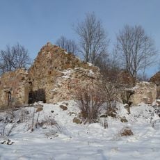
Daugirdiškės manor
6.5 km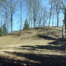
Strėva hillfort
8.5 km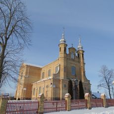
Church of the Holy Trinity, Kietaviškės
11 km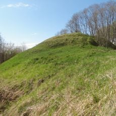
Žuvyčiai Hillfort
4.3 km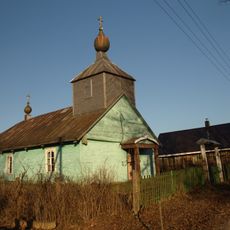
Old Believers Church in Daniliškės
9.9 km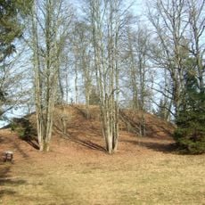
Naujasodžiai hillfort
10.9 km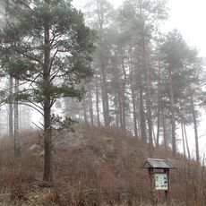
Balandiškės castle hill
7.5 km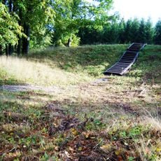
Beižionių piliakalnis
12 km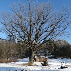
Giedraitiškių ąžuolas
12 km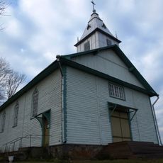
Church of the Exaltation of the Holy Cross in Beižionys
11.5 km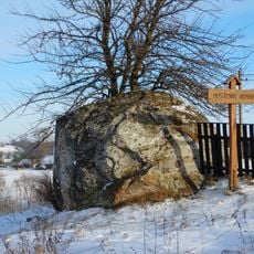
Mustenių akmuo
5.7 km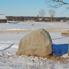
Žikaronių akmuo
9.5 km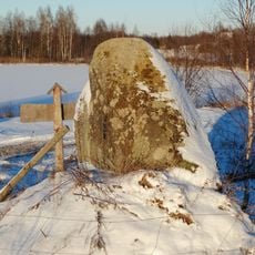
Pajurgiskes boulder
8.9 km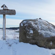
Laičių akmenys
6.4 km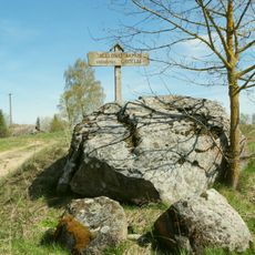
Jagėlonys Stone
7.4 km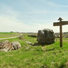
Belezai Stone
7 km
Beizionys boulder
10.7 kmReviews
Visited this place? Tap the stars to rate it and share your experience / photos with the community! Try now! You can cancel it anytime.
Discover hidden gems everywhere you go!
From secret cafés to breathtaking viewpoints, skip the crowded tourist spots and find places that match your style. Our app makes it easy with voice search, smart filtering, route optimization, and insider tips from travelers worldwide. Download now for the complete mobile experience.

A unique approach to discovering new places❞
— Le Figaro
All the places worth exploring❞
— France Info
A tailor-made excursion in just a few clicks❞
— 20 Minutes