
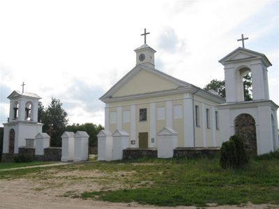
Church of St. Francis Seraph, Aleksandravėlė, church building in Rokiškis District Municipality, Lithuania
Location: Rokiškis District Municipality
GPS coordinates: 55.88488,25.94145
Latest update: September 25, 2025 07:40
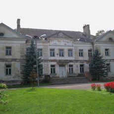
Antazavė Manor
8.6 km
Sartai Regional Park
12.3 km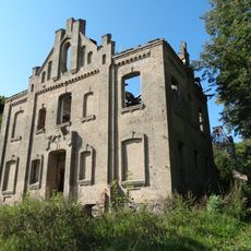
Kamariškiai manor
7.8 km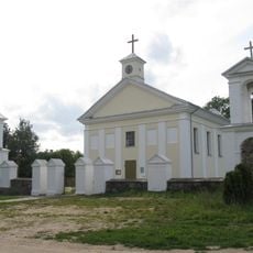
Aleksandravėlė
213 m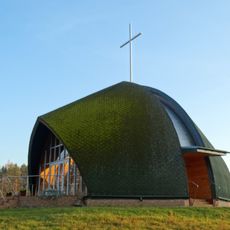
Chapel, Kvintiškės
12.7 km
Bradesių ąžuolas
7.2 km
Laši linnus
13.5 km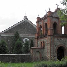
Subates Svētā Miķeļa Romas katoļu baznīca
13.6 km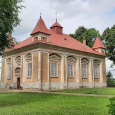
Lutheran church in Subate
13.1 km
Kazimirvāle mõis
12.7 km
Mater Ecclesiae church in Eglaine
13.4 km
Church of the Providence of God in Antazavė
8.1 km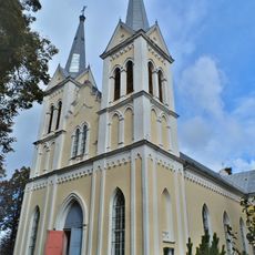
Church of St. Anne, Obeliai
10.9 km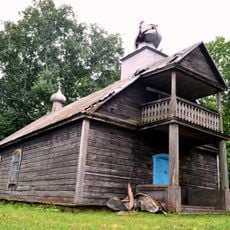
Old Believers Church in Bobriškis
10.3 km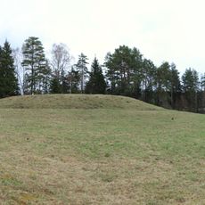
Velikuškių I piliakalnis
8.2 km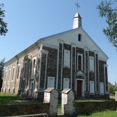
Church of the Providence of God in Kriaunos
9.8 km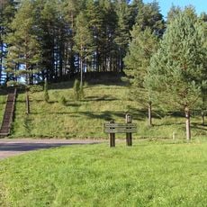
Velikuškės 2nd hillfort
7.9 km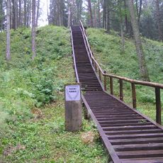
Pakačinės hillfort
8.7 km
Maniuliškių piliakalnis
4.1 km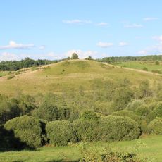
Kalnočių piliakalnis
5.9 km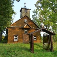
Old Believers Church in Sipailiškis
9.4 km
Mielėnai hillfort
2.6 km
Pakriaunio akmuo
9.4 km
Góra zamkowa Dirdy
2.5 km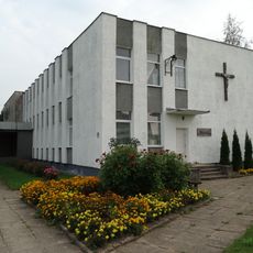
Chapel in Suviekas
10.4 km
Šišponiškių piliakalnis
12.8 km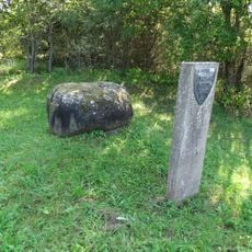
Vaidminių akmuo
9.3 km
Marciūniškių piliakalnis
13.6 kmVisited this place? Tap the stars to rate it and share your experience / photos with the community! Try now! You can cancel it anytime.
Discover hidden gems everywhere you go!
From secret cafés to breathtaking viewpoints, skip the crowded tourist spots and find places that match your style. Our app makes it easy with voice search, smart filtering, route optimization, and insider tips from travelers worldwide. Download now for the complete mobile experience.

A unique approach to discovering new places❞
— Le Figaro
All the places worth exploring❞
— France Info
A tailor-made excursion in just a few clicks❞
— 20 Minutes