Enable Location

We need your location to show you interesting places around you

Discover nearby places

Find interesting locations and hidden gems around you

Precise directions

Get accurate directions and distances to places

Your location is never shared with other users. It's only used when you tap the location button.

Ringovės piliakalnis

Log in to your account

Start exploring — it's free

Trusted by 61,983 travelers worldwide

Continue with Google
Continue with Apple
or

We will send you a code to connect

By continuing, you accept our Terms and Conditions and our Privacy Policy

Check your inbox

We've sent a pincode in your inbox. Please enter the code below.

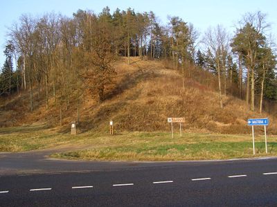
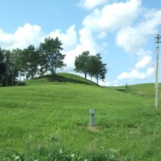
Ringovės piliakalnis, Archaeological hillfort in Vilkija, Lithuania.

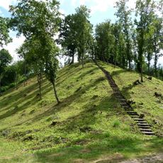
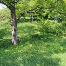
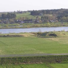
Ringovės piliakalnis is a rectangular earthwork structure in Vilkija with steep slopes on all sides and a raised central platform. A conical mound occupies the main platform, and a natural ridge extends from the northern edge.

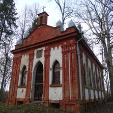
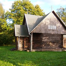
Archaeological excavations in the 1960s uncovered remains of a castle documented in historical records from 1364. Later investigations provided additional insights into this early defensive structure.

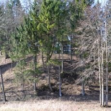
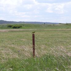
The hillfort demonstrates how early Lithuanian communities used elevated ground for defense and control of their territory. From the top, visitors can see the surrounding landscape and understand why this location was strategically chosen.

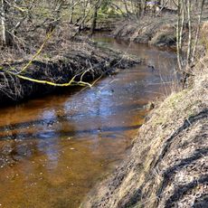
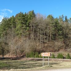
The site is accessible from road 141, which connects Kaunas to the coast and passes through several towns. Paths on the grounds can be slippery after rain, so sturdy footwear is advisable.

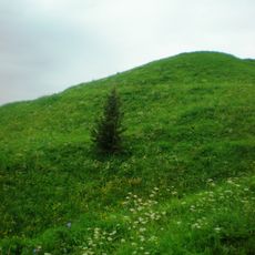
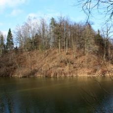
The northern ridge is a natural formation that contrasts with the man-made platform, creating an interesting blend of landscape features. This combination reveals how inhabitants worked with the existing terrain to build their defenses.

The community of curious travelers

AroundUs brings together thousands of curated places, local tips, and hidden gems, enriched daily by 60,000 contributors worldwide.

Start exploring
Location
Vilkija Tiúⁿ-ló-khu
GPS coordinates
55.05131,23.52122
Latest update
December 14, 2025 18:47
« Ringovės piliakalnis - Archaeological hillfort in Vilkija, Lithuania » is provided by Around Us (aroundus.com). Images and texts are derived from Wikimedia project under a Creative Commons license. You are allowed to copy, distribute, and modify copies of this page, under the conditions set by the license, as long as this note is clearly visible.

Discover hidden gems everywhere you go!

From secret cafés to breathtaking viewpoints, skip the crowded tourist spots and find places that match your style. Our app makes it easy with voice search, smart filtering, route optimization, and insider tips from travelers worldwide. Download now for the complete mobile experience.

Around Us App Screenshot

A unique approach to discovering new places

Le Figaro

All the places worth exploring

France Info

A tailor-made excursion in just a few clicks

20 Minutes

Around Us
Travel Guide & Maps
Download

Send to your phone

QR Code
1

Open the camera app on your mobile.

2

Point at the QR code with your camera. A notification will appear.

3

Tap the notification to open the link.