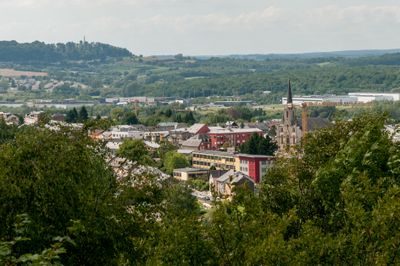
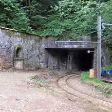
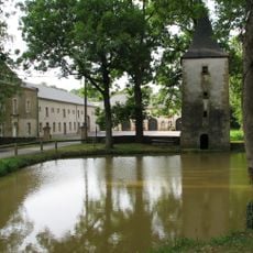
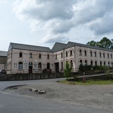
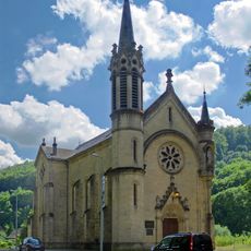
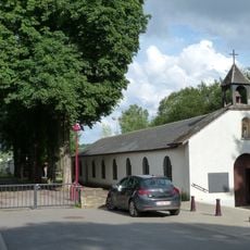
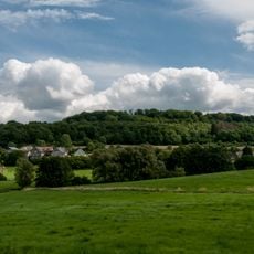
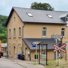
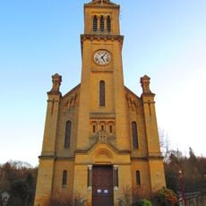
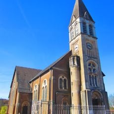
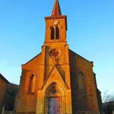
Rodange, town in the commune of Pétange, in south-western Luxembourg
The community of curious travelers
AroundUs brings together thousands of curated places, local tips, and hidden gems, enriched daily by 60,000 contributors worldwide.
Location
Elevation above the sea
300 m
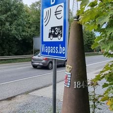
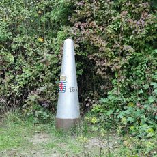
Shares border with
Athus, Pétange, Lasauvage
Website
GPS coordinates
49.54667,5.83972
Latest update
March 6, 2026 09:34