
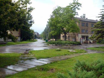
Kalnciems, human settlement in Latvia
Location: Kalnciems Parish
Elevation above the sea: 2.9 m
GPS coordinates: 56.80056,23.60972
Latest update: March 6, 2025 22:36
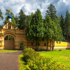
Valgunde Monastery
9.1 km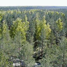
Ložmetējkalns
7.9 km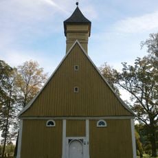
Church of Saint Joseph in Līvbērze
14.4 km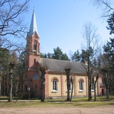
Salas Lutheran church in Spuņciems
16.3 km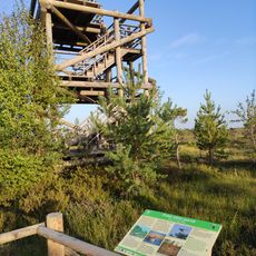
Lookout tower in Great Ķemeri Bog
14.8 km
Babīte lake nature reserve
14.9 km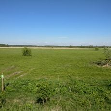
Kalnciems Meadow
2.2 km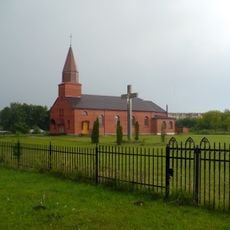
Roman Catholic Church in Kalnciems
446 m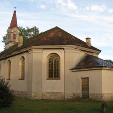
Lutheran church in Kalnciems
1.3 km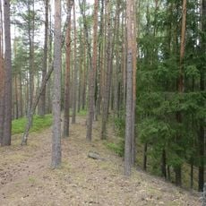
Krāču kalni
11.5 km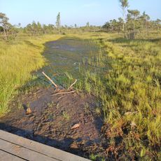
Ķemeru purva laipa
14.8 km
Naudas (Dieva) kalniņš, Laupītāju pils - nostāstu vieta
14.5 km
Church of St. John Climacus in Valgunde Monastery
9 km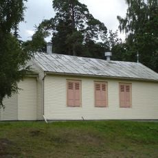
Kapliča
16.2 km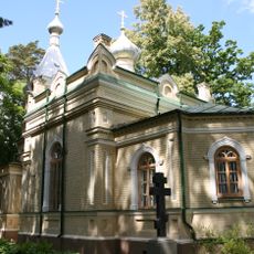
Church of the Transfiguration of Christ in Valgunde Monastery
9 km
Dzīvojamā ēka
15.9 km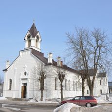
Slokas luterāņu baznīca
15.9 km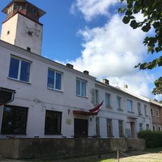
Slokas vēsturiskais centrs
15.9 km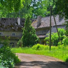
Līvbērze Manor
11.6 km
Draviņu-Dunduru Karjers
8.5 km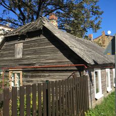
Dzīvojamā ēka
16 km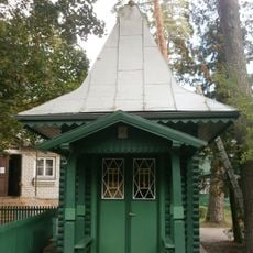
Chapel in Valgunde Monastery
9 km
Kalnciema Mālu Karjers
6.4 km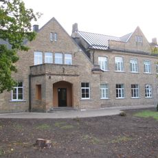
School in Kalnciems
1.3 km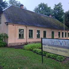
Džūkstes Pasaku muzejs
16 km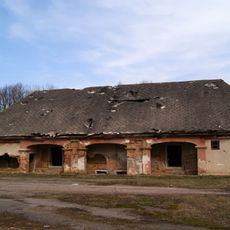
Upesmuižas labības klēts
14.2 km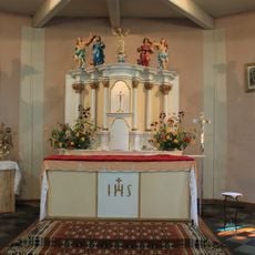
Altāris
14.4 km
Christmas battle museum
6.5 kmVisited this place? Tap the stars to rate it and share your experience / photos with the community! Try now! You can cancel it anytime.
Discover hidden gems everywhere you go!
From secret cafés to breathtaking viewpoints, skip the crowded tourist spots and find places that match your style. Our app makes it easy with voice search, smart filtering, route optimization, and insider tips from travelers worldwide. Download now for the complete mobile experience.

A unique approach to discovering new places❞
— Le Figaro
All the places worth exploring❞
— France Info
A tailor-made excursion in just a few clicks❞
— 20 Minutes