
Vaiņode, human settlement
Location: Vaiņode Parish
Elevation above the sea: 147 m
GPS coordinates: 56.41847,21.85231
Latest update: March 7, 2025 22:11
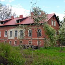
Dautarai Manor
10.6 km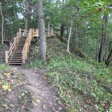
Embūte hillfort
10.5 km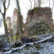
Embūte Castle
9.9 km
Church of St. John the Baptist, Židikai
14.8 km
Navidanskas Park
14 km
Church of the Annunciation, Ylakiai
15.5 km
Ruņupes ieleja
10.6 km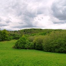
Embūte Nature Park
10.6 km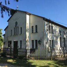
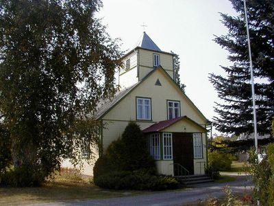
Synagoge
203 m
Ķerru pilskalns
15.4 km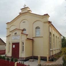
Baptist church in Ylakiai
15.3 km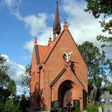
Chapel in Židikai
13.5 km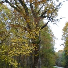
Žukausko ąžuolas
14.6 km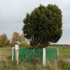
Klauseikių kadagys
15.6 km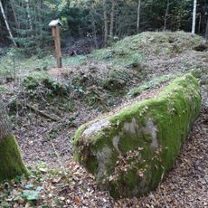
Vizgaudziai boulder "The Coffin"
11 km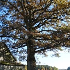
Margininkų ąžuolas
13.3 km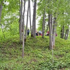
Upenieku pilskalns
12.7 km
Aizvīķu pilskalns
12.6 km
Bātas pilskalns
4 km
Kaltes pilskalns
9.9 km
Asītes pilskalns
11.9 km
Diždāmes pilskalns
12.2 km
Lanku pilskalns
3.9 km
Kalšu pilskalns
5 km
Gravas Sudmaļu pilskalns
11.7 km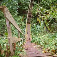
Embūtes gravas
10.2 km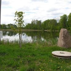
Obeliškių tvenkinys
15.4 km
Ritinės II tvenkinys
12.3 kmReviews
Visited this place? Tap the stars to rate it and share your experience / photos with the community! Try now! You can cancel it anytime.
Discover hidden gems everywhere you go!
From secret cafés to breathtaking viewpoints, skip the crowded tourist spots and find places that match your style. Our app makes it easy with voice search, smart filtering, route optimization, and insider tips from travelers worldwide. Download now for the complete mobile experience.

A unique approach to discovering new places❞
— Le Figaro
All the places worth exploring❞
— France Info
A tailor-made excursion in just a few clicks❞
— 20 Minutes