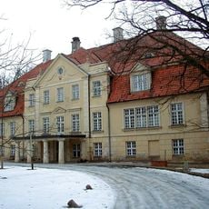
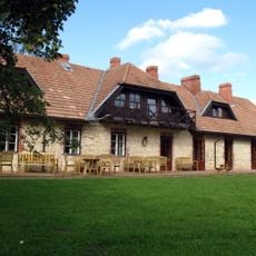
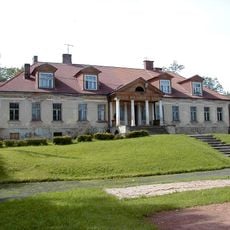
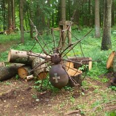
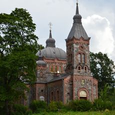
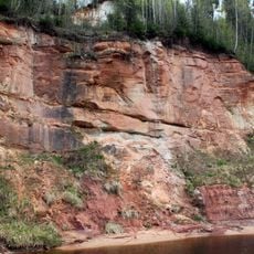
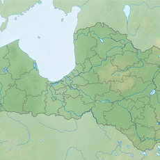
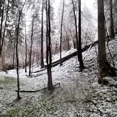
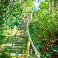
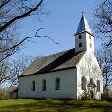
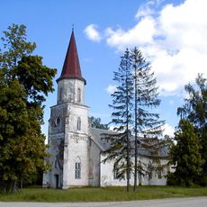
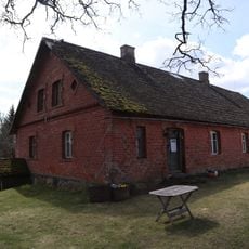
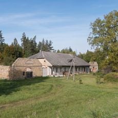
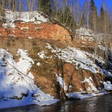
Nītaure Parish, administrative territorial entity
Location: Cēsis Municipality
Capital city: Nītaure
GPS coordinates: 57.08181,25.22372
Latest update: March 7, 2025 05:51
Mālpils Manor
18.4 km
Kārļi mõis
17.7 km
Nītaure Medieval Castle
2.4 km
Zaube Medieval Castle Ruins
9.9 km
Skujene Castle ruins
15.2 km
Sērmūkši Manor
18.1 km
Mālpils Castle
18 km
Ainavu krauja
17.4 km
Drabeši Manor
18.4 km
Vienkoču parks
15.9 km
Bruņa cave
16.8 km
Nītaure orthodox church
2.1 km
Dzilnas rock
16.3 km
Kaļļu avoti
14.3 km
Doļu pilskalns
13.9 km
Nītaures pilskalns (Vaļņa kalns)
1.7 km
Lutheran church in Mālpils
18.1 km
Zušu-Staiņu sēravoti
14.9 km
Vīnakalns hillfort, Mālpils
18.5 km
Incēni Medieval Cemetery
16.9 km
Kroga ēka
17.2 km
Lutheran church in Skujene
15.1 km
Gleznotāja V.Purvīša dzimtās mājas
13.5 km
Ērģeles
15.1 km
Vāverkrogs
17.2 km
Mālpils Manor House
18.6 km
Vizuļu iezis
16 km
Dambja iezis un Bruņa ala
16.7 kmReviews
Visited this place? Tap the stars to rate it and share your experience / photos with the community! Try now! You can cancel it anytime.
Discover hidden gems everywhere you go!
From secret cafés to breathtaking viewpoints, skip the crowded tourist spots and find places that match your style. Our app makes it easy with voice search, smart filtering, route optimization, and insider tips from travelers worldwide. Download now for the complete mobile experience.
A unique approach to discovering new places❞
— Le Figaro
All the places worth exploring❞
— France Info
A tailor-made excursion in just a few clicks❞
— 20 Minutes