
Īle, dorp in Letland
Location: Īle Parish
Elevation above the sea: 95 m
GPS coordinates: 56.54139,22.99861
Latest update: March 8, 2025 02:02

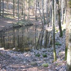
Pokaiņi Forest
5.8 km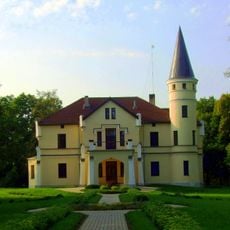
Bēne Manor
7.4 km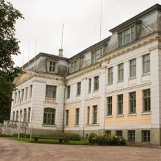
Lielauce Manor
6.7 km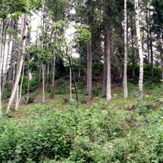
Spārnu hillfort
3 km
Ezerlūku pilskalns
10.2 km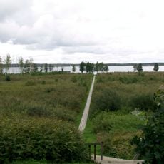
Vīķu purvs
5.7 km
Zebrus and Svētes lakes
10.1 km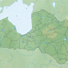
Smiltnieku pilskalns
9.7 km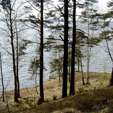
Zebrus avoti
10.5 km
Ogānu pilskalns
6.3 km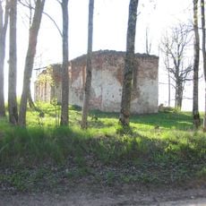
Lielauces luterāņu baznīca
8.1 km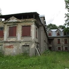
Kungu māja
4.3 km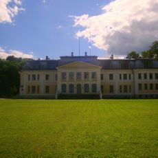
Lielauce manor estate
6.5 km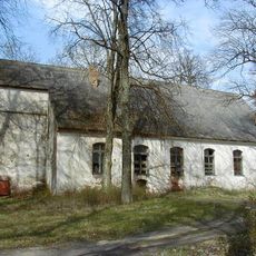
Lutheran church in Īle
1.7 km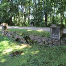
Bridge
6.4 km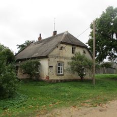
Kalpu māja
4.3 km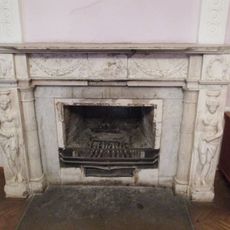
Kamīns
6.4 km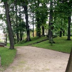
Lielauce manor park
6.5 km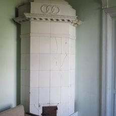
Krāsns
6.4 km
Pagrabi (2)
6.5 km
Čiekuru kalte
6.6 km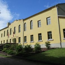
Pārvaldnieka māja
6.6 km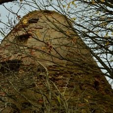
Vējdzirnavas
4 km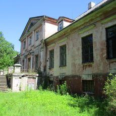
Pils
1.4 km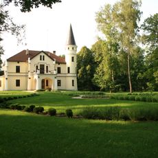
Bēne Manor house
7.4 km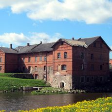
Dzirnavas
7.2 km
Kūts
10.4 km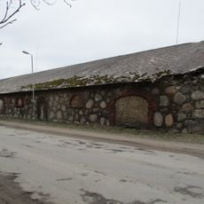
Klēts
10.4 kmReviews
Visited this place? Tap the stars to rate it and share your experience / photos with the community! Try now! You can cancel it anytime.
Discover hidden gems everywhere you go!
From secret cafés to breathtaking viewpoints, skip the crowded tourist spots and find places that match your style. Our app makes it easy with voice search, smart filtering, route optimization, and insider tips from travelers worldwide. Download now for the complete mobile experience.

A unique approach to discovering new places❞
— Le Figaro
All the places worth exploring❞
— France Info
A tailor-made excursion in just a few clicks❞
— 20 Minutes