
Meņģele, dorp in Letland
Location: Meņģele Parish
Elevation above the sea: 100 m
GPS coordinates: 56.80667,25.41222
Latest update: March 20, 2025 23:39
Ērgļi Castle ruins
17.1 km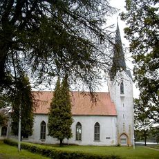
Lutheran church in Koknese
18.5 km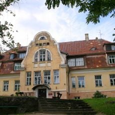
Vecbebri Manor
10.3 km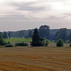
Ogre River Valley Nature Park
6 km
Taurupe Manor
9.5 km
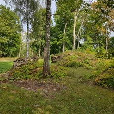
Bulandu pilskalns
11.9 km
Ziestu
14.2 km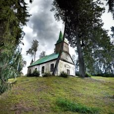
Lutheran church in Meņģele
1.2 km
Ērgļu Skanstes kalniņš
17.4 km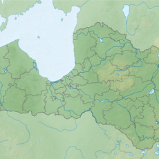
Līčupes atsegums
5.4 km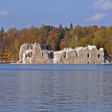
Kokneses viduslaiku pils un senpilsēta
18.5 km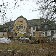
Kungu māja
17.5 km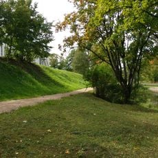
Ērgļu viduslaiku kapsēta
17.4 km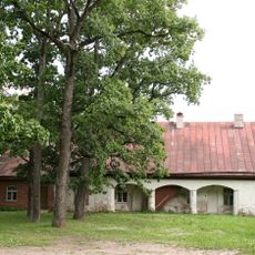
Vecbebru muižas klēts
10.4 km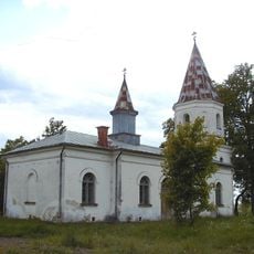
Aderkaši orthodox church
5.4 km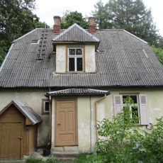
Valodnieka J.Endzelīna dzīves vieta
18.6 km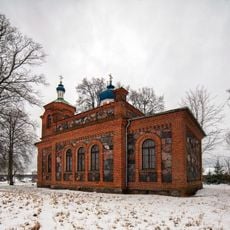
Krapes pareizticīgo baznīca
18.3 km
Plāteres pilskalns
13.1 km
Uženu pilskalns
17.5 km
Vecbebru muižas stallis
10.3 km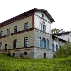
Kungu māja
9 km
Sestukalna astronomisko novērojumu punkts
14.1 km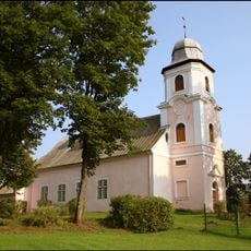
Lutheran church in Madliena
16.4 km
Ogres pilskalns
7 km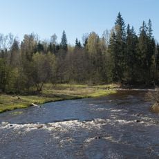
Brāži Rapid and Akmeņupīte Waterfall
12.3 km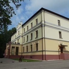
Kungu māja
9.6 km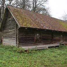
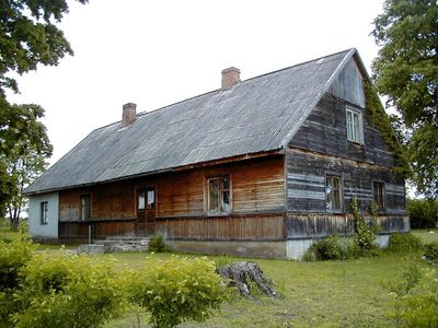
Klēts
9 km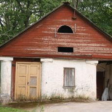
Vecbebru muižas pagrabs
10.3 kmVisited this place? Tap the stars to rate it and share your experience / photos with the community! Try now! You can cancel it anytime.
Discover hidden gems everywhere you go!
From secret cafés to breathtaking viewpoints, skip the crowded tourist spots and find places that match your style. Our app makes it easy with voice search, smart filtering, route optimization, and insider tips from travelers worldwide. Download now for the complete mobile experience.

A unique approach to discovering new places❞
— Le Figaro
All the places worth exploring❞
— France Info
A tailor-made excursion in just a few clicks❞
— 20 Minutes