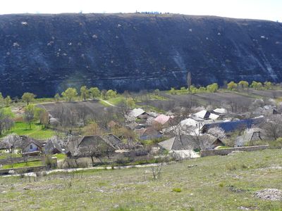
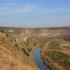
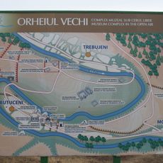
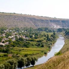
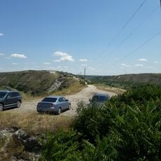
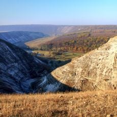
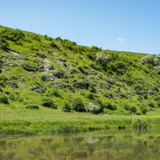
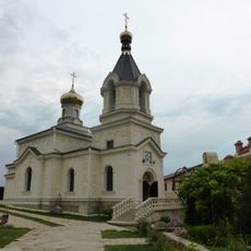
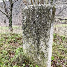
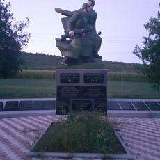
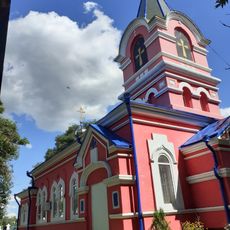
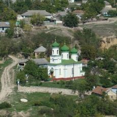
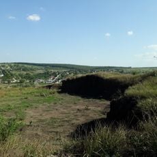
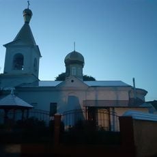
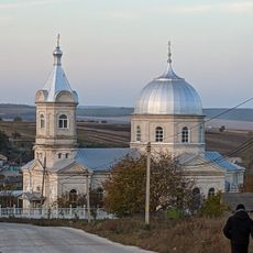
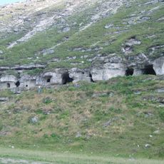
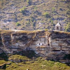
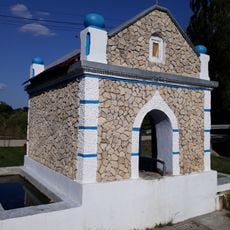
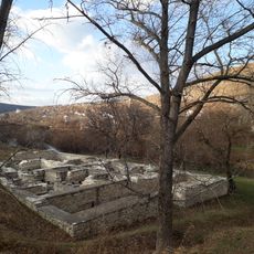
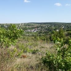
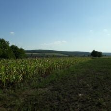
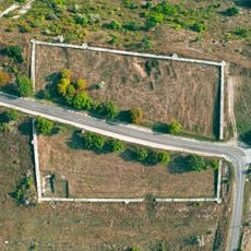
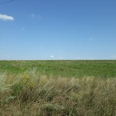
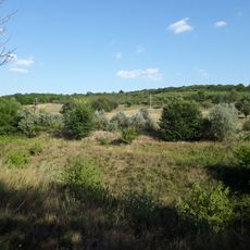
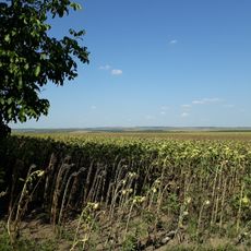
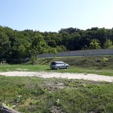
Butuceni, village in Orhei District, Moldova
Location: Orhei District
Elevation above the sea: 38 m
GPS coordinates: 47.30139,28.97250
Latest update: March 3, 2025 14:12
Old Orhei
513 m
Cave monasteries of Orheiul Vechi
363 m
Orhei National Park
467 m
Getic fort of Butuceni
84 m
Trebujeni landscape reserve
3.1 km
Reef on the riverbank of Răut
8.1 km
Church of the Nativity of the Virgin Mary in Butuceni, Orhei
105 m
Funerary stele, Butuceni, Orhei
1.1 km
Monument în memoria consătenilor căzuți în 1941-1945
3 km
Church of the Nativity of the Virgin Mary in Brănești, Orhei
3.7 km
Monument comun al ostașilor căzuți (66) în 1944
1.2 km
Brănești V settlement
4.2 km
Orthodox church in Trebujeni
1.3 km
Brănești VII settlement
3.7 km
Chernozem field near Ivancea
6.8 km
Biserica „Acoperământul Maicii Domnului”
2.6 km
Saint Demetrius of Thessaloniki church in Hîrtopul Mic, Criuleni
7.1 km
Cave monastery of Bosie
463 m
Cave hermitage with bell tower and stone cross, Butuceni
184 m
Spring in Brănești, Orhei
3.7 km
Orașul medieval Orhei
721 m
Brănești II settlement
3.7 km
Brănești XVII settlement
4.4 km
Orheiul Vechi Fort
892 m
Brănești XVI settlement
2.6 km
Brănești XV settlement
4.2 km
Brănești X settlement
3.9 km
Așezare - Brănești - IV
2.9 kmVisited this place? Tap the stars to rate it and share your experience / photos with the community! Try now! You can cancel it anytime.
Discover hidden gems everywhere you go!
From secret cafés to breathtaking viewpoints, skip the crowded tourist spots and find places that match your style. Our app makes it easy with voice search, smart filtering, route optimization, and insider tips from travelers worldwide. Download now for the complete mobile experience.
A unique approach to discovering new places❞
— Le Figaro
All the places worth exploring❞
— France Info
A tailor-made excursion in just a few clicks❞
— 20 Minutes