
Mihuleni, village in Șoldănești District, Moldova
Location: Șoldănești District
Elevation above the sea: 184 m
GPS coordinates: 47.83056,28.83694
Latest update: April 10, 2025 14:10
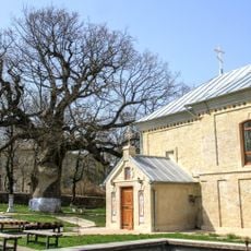
Oak of Stephen the Great in Cobîlea
13.8 km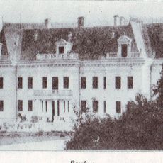
Pałac w Raszkowie
12.5 km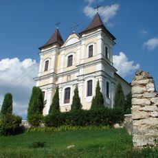
Saint Cajetan Church, Rașcov
12.5 km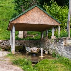
Cărăușilor spring
12.8 km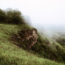
Geological formation near Socola
8.5 km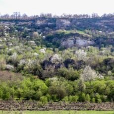
Poiana–Curătura
7.1 km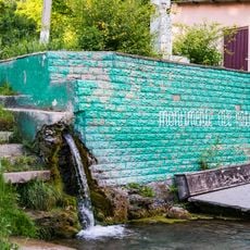
Spring of Sămășcani
13.2 km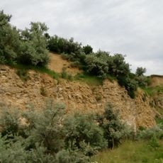
Former excavation site near Șoldănești train station
7.5 km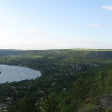
Bugornea
13.1 km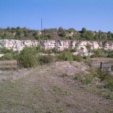
Boșernița excavation site
11.9 km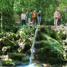
Spring of Stroiești
9.6 km
Colohur
10 km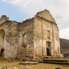
Church of the Intercession in Rașcov
11.9 km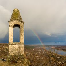
Turnul vânturilor
9.5 km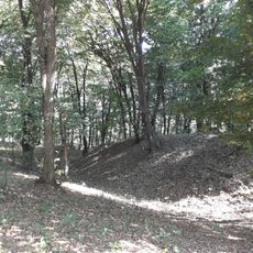
Cetățuie - Curătura
7.1 km
Port Soloncheny
12.9 km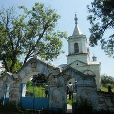
Saint George church in Șestaci, Șoldănești
6.6 km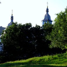
Saint Michael church in Vadul-Rașcov, Șoldănești
12 km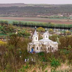
Biserica „Sf. Dumitru”
13.3 km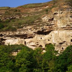
Cave complex of Socola, Șoldănești
8.8 km
Port Belochi
11.6 km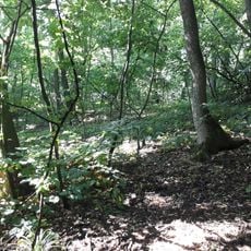
Cetățuie - Țahnăuți
12.2 km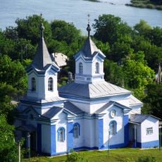
Saint Barbara church in Socola, Șoldănești
8.6 km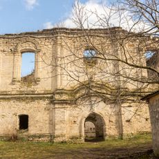
Sinagogă (complex din 2 clădiri)
12.2 km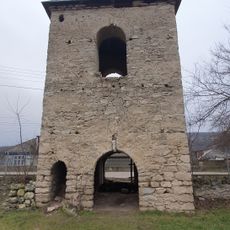
Tower at the entrance in the cemetery of Vadul-Rașcov, Șoldănești
11.9 km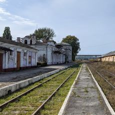
Șoldănești train station
3.7 km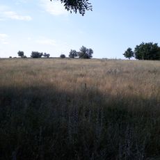
Cetățuie - Olișcani
7.4 km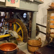
Watermill in Stroiești
9.8 kmReviews
Visited this place? Tap the stars to rate it and share your experience / photos with the community! Try now! You can cancel it anytime.
Discover hidden gems everywhere you go!
From secret cafés to breathtaking viewpoints, skip the crowded tourist spots and find places that match your style. Our app makes it easy with voice search, smart filtering, route optimization, and insider tips from travelers worldwide. Download now for the complete mobile experience.

A unique approach to discovering new places❞
— Le Figaro
All the places worth exploring❞
— France Info
A tailor-made excursion in just a few clicks❞
— 20 Minutes