
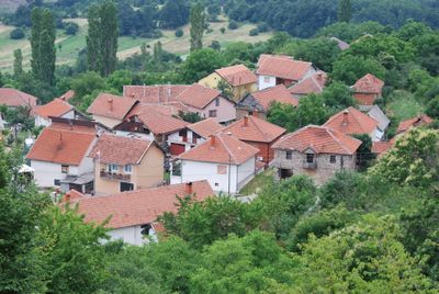
Rogačevo, village in North Macedonia
Location: Jegunovce Municipality
Elevation above the sea: 862 m
GPS coordinates: 42.15640,21.15690
Latest update: March 26, 2025 23:57
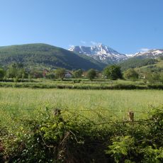
Luboten
6.4 km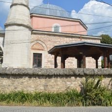
Sinan Pasha Mosque
11.5 km
Piribeg
9 km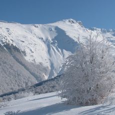
Lake Peak (Eastern Šar Mountains)
12.2 km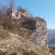
Oraško Kale
5.4 km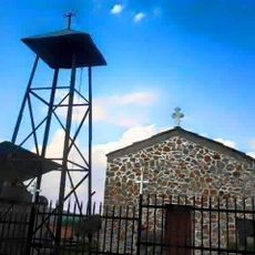
Église Saint-Nicolas de Gotovuša
11.4 km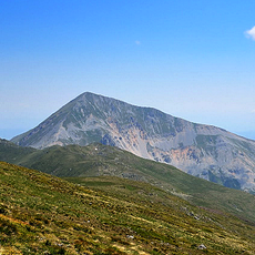
Јегуновска тврдина
6.5 km
Црква „Св. Петка“ - Беловиште
5 km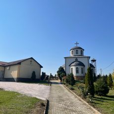
St. Theodore of Amasea Church
12.2 km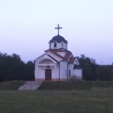
Црква „Св. Константин и Елена“ - Вратница
3.5 km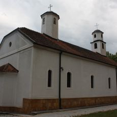
St. Petka Church (Vratnica)
3.1 km
Church of the Theotokos (Jelošnik)
10.3 km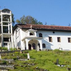
Church of the Theotokos
4.9 km
Црква „Св. Спас“ - Рогачево
417 m
Mosque
7.5 km
Црква „Св. Илија“ - Рогачево
652 m
Црква „Св. Јован Крстител“ - Беловиште
5 km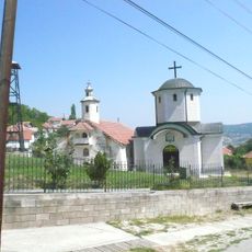
Црква „Вознесение Христово“ - Рогачево
52 m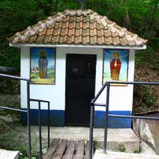
Црква „Св. Петка и Св. Недела“ - Рогачево
443 m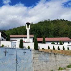
St. Nicholas Church
8.5 km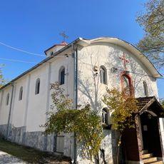
St. Elijah Church
10.5 km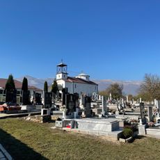
St. Michael the Archangel Church
9.8 km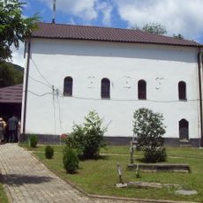
Црква „Св. Јован Крстител“ - Доброште
9.6 km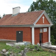
Црква „Св. Архангел Михаил“ - Вратница
3.4 km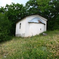
Црква „Св. Архангел Михаил“ - Рогачево
280 m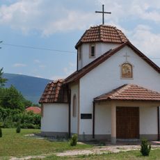
St. Michael the Archangel Church
10.9 km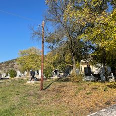
St. Petka Church
10.3 km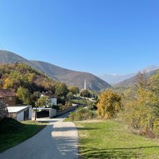
Џамија (Дворце)
6.4 kmReviews
Visited this place? Tap the stars to rate it and share your experience / photos with the community! Try now! You can cancel it anytime.
Discover hidden gems everywhere you go!
From secret cafés to breathtaking viewpoints, skip the crowded tourist spots and find places that match your style. Our app makes it easy with voice search, smart filtering, route optimization, and insider tips from travelers worldwide. Download now for the complete mobile experience.

A unique approach to discovering new places❞
— Le Figaro
All the places worth exploring❞
— France Info
A tailor-made excursion in just a few clicks❞
— 20 Minutes