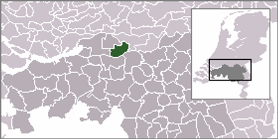
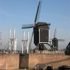
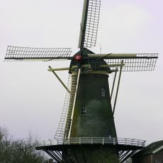
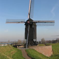
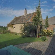
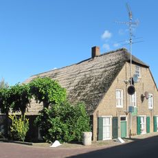
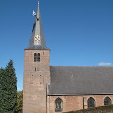
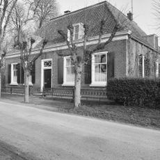
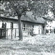
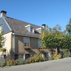
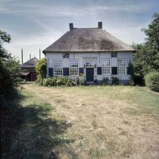
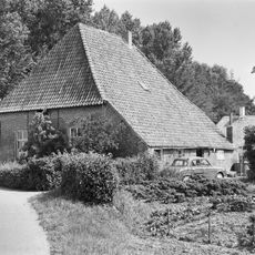
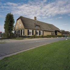
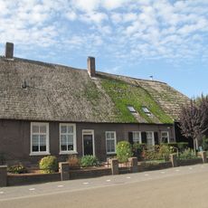
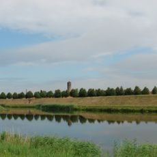
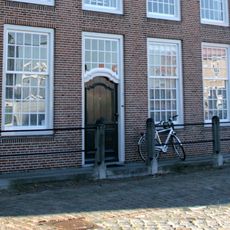
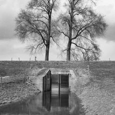
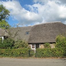
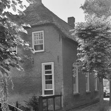
Aalburg, former municipality in North Brabant, the Netherlands
Location: North Brabant
Inception: January 1, 1973
Elevation above the sea: 3 m
Shares border with: Zaltbommel, Heusden, Werkendam, Woudrichem, Waalwijk
Website: http://aalburg.nl
GPS coordinates: 51.75389,5.13139
Latest update: March 6, 2025 00:38
Kasteel Nederhemert
1.6 km
Molen I
2.1 km
Hervormde kerk (Aalburg)
344 m
Hervormde Kerk
695 m
De Twee Gebroeders
326 m
Molen II
2 km
Eilandkerk
1.2 km
Boerderijcomplex: kook- of bakhuis
1.3 km
Kortgevelboerderij van het Altenase type met middenlangsdeel
430 m
Toren der Nederlandse Hervormde Kerk
344 m
Kasteellaan 3, Nederhemert
1.4 km
Voormalige kortgevelboerderij van het Altenase dwarsdeeltype
240 m
Althena
296 m
De Hoef
1.2 km
Kerklaan 3, Nederhemert
1.2 km
Boerderijcomplex
1.3 km
Grote Kerkstraat 10, Aalburg
444 m
Berenhoeksestraat 8, Aalburg
735 m
Vesting Heusden
1.8 km
Kerklaan 12, Nederhemert-Zuid
1.1 km
Stadshaven 20, Heusden
2.1 km
Herberg van beganegrond met rieten wolfdak
2 km
Boerderijcomplex: varkensschuur
1.3 km
Stadshaven 4, Heusden
2.1 km
Boerderij met dwars voor de stal gebouwd woonhuis
481 m
Duikersluis in de Bergse Maasdijk
1.8 km
De Kroon 14, Wijk en Aalburg
1.6 km
Dwarshuis met rieten wolfdak met topschoorstenen
1.4 kmReviews
Visited this place? Tap the stars to rate it and share your experience / photos with the community! Try now! You can cancel it anytime.
Discover hidden gems everywhere you go!
From secret cafés to breathtaking viewpoints, skip the crowded tourist spots and find places that match your style. Our app makes it easy with voice search, smart filtering, route optimization, and insider tips from travelers worldwide. Download now for the complete mobile experience.
A unique approach to discovering new places❞
— Le Figaro
All the places worth exploring❞
— France Info
A tailor-made excursion in just a few clicks❞
— 20 Minutes