
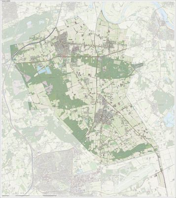
Landerd, former municipality in the Netherlands
Location: North Brabant
Elevation above the sea: 20 m
Shares border with: Oss, Grave, Mill en Sint Hubert, Bernheze, Uden
Website: http://landerd.nl
GPS coordinates: 51.71860,5.65500
Latest update: March 2, 2025 22:06
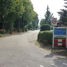
Oventje
4 km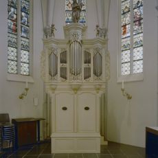
Kerk van H. Antonius Abt, Schaijk
3.5 km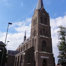
Heilige Jacobus de Meerdere, Zeeland
2.7 km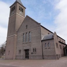
Saint Anthony the Great Church
3.6 km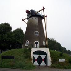
De Dageraad
2.8 km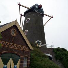
Coppensmolen
2.2 km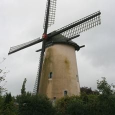
De Onderneming
3.8 km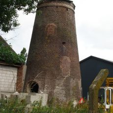
Nooit Gedacht
2.6 km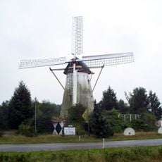
De Hellemolen
2.5 km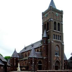
Statue of Sacred Heart of Jesus Christ
3.5 km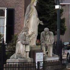
Statue of Sacred Heart of Jesus Christ
2.7 km
Klooster St.Elisabeth, Reek
3.8 km
Terrein waarin vier grafheuvels
4.4 km
Monseigneur Borretstraat 12, Reek
3.5 km
Kerkstraat 108, Zeeland
2.4 km
Monseigneur Borretstraat 5, Reek
3.6 km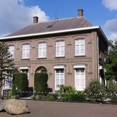
Pastorie Pastoor v.Winkelstraat 1, Schaijk
3.5 km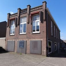
Boerenbond Reek
3.7 km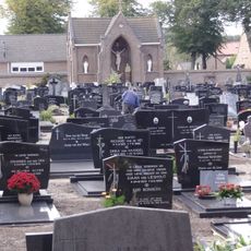
Heilige Jacobus de Meerdere: kerkhofkapel annex baarhuis
2.7 km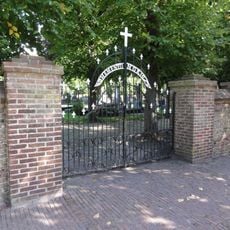
RK Kerkhof
3.7 km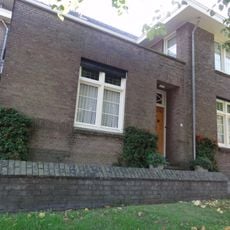
Pastorie
3.6 km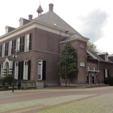
Heilige Jacobus de Meerdere: pastorie
2.7 km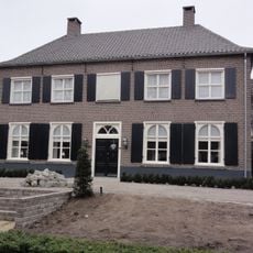
Heijtmorgen 19, Reek
3.8 km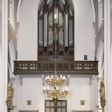
Tweeklaviers orgel met vrij Pedaal in de R.K. Kerk
2.7 km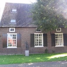
Orgelbau F.C. Smits
3.5 km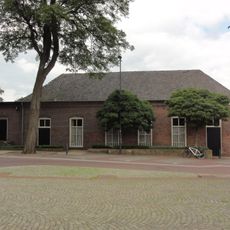
Voormalig schoolgebouw. Rechthoekig pand met getoogde vensters en langgerekt pannen schilddak. Geprofileerde, bakstenen waterlijst onder de dakvoet. Aan de westzijde later verlengd
2.7 km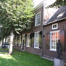
Orgelbau F.C. Smits
3.6 km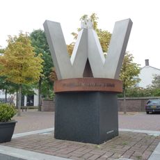
Monument voor Vrede, Vrijheid en Verantwoordelijkheid
3.5 kmReviews
Visited this place? Tap the stars to rate it and share your experience / photos with the community! Try now! You can cancel it anytime.
Discover hidden gems everywhere you go!
From secret cafés to breathtaking viewpoints, skip the crowded tourist spots and find places that match your style. Our app makes it easy with voice search, smart filtering, route optimization, and insider tips from travelers worldwide. Download now for the complete mobile experience.

A unique approach to discovering new places❞
— Le Figaro
All the places worth exploring❞
— France Info
A tailor-made excursion in just a few clicks❞
— 20 Minutes