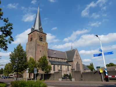
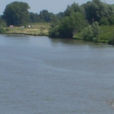
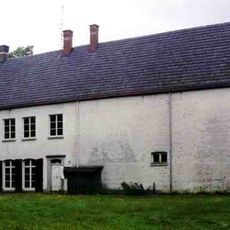
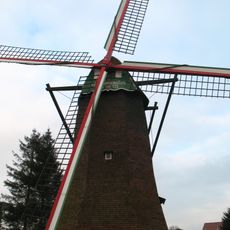
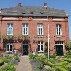
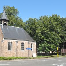
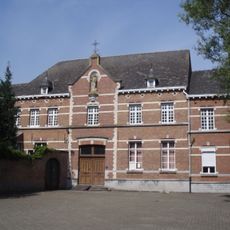
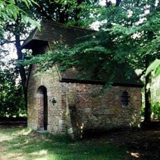
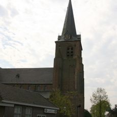
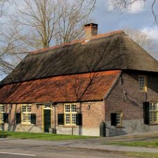
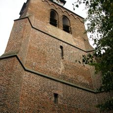
Reusel-De Mierden, municipality in the Netherlands
Location: North Brabant
Inception: January 1, 1997
Elevation above the sea: 32 m
Shares border with: Hilvarenbeek, Bladel
Email: gemeente@reuseldemierden.nl
Website: https://reuseldemierden.nl
GPS coordinates: 51.36170,5.16310
Latest update: April 26, 2025 06:03
Landgoed de Utrecht
7.6 km
Southern Netherlands
4.1 km
Kasteel Ter Hoge Heide
7.1 km
Toremansmolen
6.5 km
Woonhuis/atelier van de Bladelse schilder Jozef Gindra
3.8 km
Onze-Lieve-Vrouw ter Sneeuwkapel
6.1 km
Sint-Agnetendal
7.3 km
Kapel van Kruisberg
6.1 km
Sint-Jozefkerk
5.2 km
Kasteel Tip
6.6 km
Villa Meerhoef
6.8 km
Statue of Sacred Heart of Jesus Christ
81 m
Kapel van de Lusthoven
7.2 km
Sint Stephanus
5 km
Sint-Jozefkerk
5.2 km
Sint-Clemenskerk
3.1 km
Memorial stone Jan Jozef Beyens
6.9 km
Villa De Mispelbocht
5.6 km
Sint-Jan Evangelistkerk
3.7 km
Pastorie Hooge Mierde
3.7 km
Hervormde kerk
3.7 km
Sigarenfabriek NV Karel I
1.2 km
Toren van de R.K. Kerk
5 km
Boerderij van het Kempische langgeveltype, rieten wolfdak met voet met pannen, kruiskozijnen met kleine roedenverdeling en luiken
6.3 km
Toren van de Sint Jan Evangelistkerk
3.7 km
Tramwegmaatschappij De Meijerij
2.6 km
Tramwegmaatschappij De Meijerij
2.6 km
Monument voor Geallieerde Vliegers
6.1 kmVisited this place? Tap the stars to rate it and share your experience / photos with the community! Try now! You can cancel it anytime.
Discover hidden gems everywhere you go!
From secret cafés to breathtaking viewpoints, skip the crowded tourist spots and find places that match your style. Our app makes it easy with voice search, smart filtering, route optimization, and insider tips from travelers worldwide. Download now for the complete mobile experience.
A unique approach to discovering new places❞
— Le Figaro
All the places worth exploring❞
— France Info
A tailor-made excursion in just a few clicks❞
— 20 Minutes