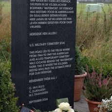
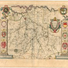
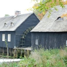
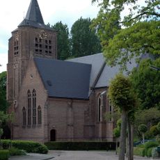
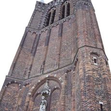
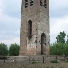
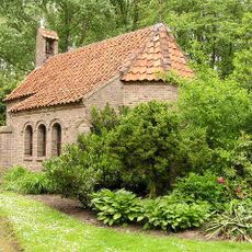
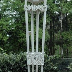
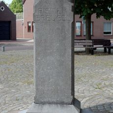
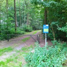
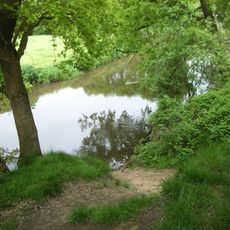
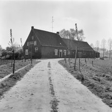
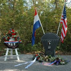
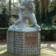
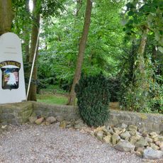
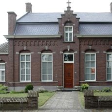
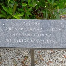
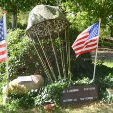
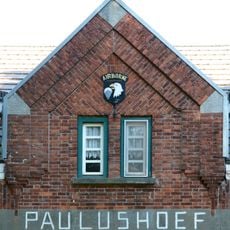
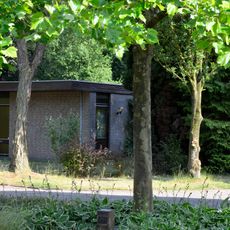
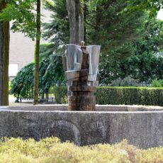
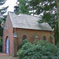
Son en Breugel, municipality in the Netherlands
Location: North Brabant
Elevation above the sea: 16 m
Shares border with: Meierijstad, Nuenen, Gerwen en Nederwetten, Best, Eindhoven
Phone: +31499491491
Email: gemeente@sonenbreugel.nl
Website: https://sonenbreugel.nl
GPS coordinates: 51.51580,5.50220
Latest update: March 3, 2025 18:08
Wings of Liberation Museum
4.2 km
US Military Cemetery Son
1.5 km
Hooydonkse watermolen, Nuenen
2 km
Sint Genovevakerk (Breugel)
372 m
Toren van de voormalige Sint-Petrus' Bandenkerk
829 m
Stad van Gerwen
2.7 km
Oude Toren, Kerkhoef, Nederwetten
2.7 km
Hooidonk
1.8 km
Joe Mann monument
4.7 km
Pieter Bruegelmonument
1.2 km
Nieuwe Dijk
3.4 km
Sonse Watermolen
957 m
Water protection area Son
4.6 km
Dommeldal bij Wolfswinkel
2.2 km
Boerderij van het langgeveltype
5.1 km
De Kaalhoef
4.4 km
Raadhuis
799 m
Dommelstraat 12, Son
705 m
Monument voor Robert Cole
5.1 km
De Parachutist
970 m
Screaming Eagles Monument
1.1 km
R.K. Pastorie
348 m
Bevrijdingsmonument
1.5 km
Monument bij de Paulushoeve (2)
3.1 km
Monument bij de Paulushoeve (1)
3.1 km
Bevrijdingsboom
2.2 km
Monument voor de 101ste Airborne Divisie
866 m
Vredeskapel
722 mReviews
Visited this place? Tap the stars to rate it and share your experience / photos with the community! Try now! You can cancel it anytime.
Discover hidden gems everywhere you go!
From secret cafés to breathtaking viewpoints, skip the crowded tourist spots and find places that match your style. Our app makes it easy with voice search, smart filtering, route optimization, and insider tips from travelers worldwide. Download now for the complete mobile experience.
A unique approach to discovering new places❞
— Le Figaro
All the places worth exploring❞
— France Info
A tailor-made excursion in just a few clicks❞
— 20 Minutes