
Walenbrug, bridge in Netherlands
Location: Venlo
Inception: 1732
Official opening: 1732
GPS coordinates: 51.36944,6.16528
Latest update: April 9, 2025 22:44
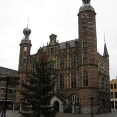
City hall of Venlo
268 m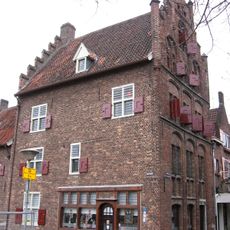
Romerhuis
98 m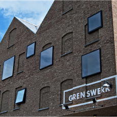
Grenswerk
273 m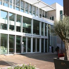
Theater de Maaspoort
208 m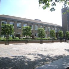
Dominicanenklooster Mariaweide
337 m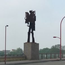
De Wachters
371 m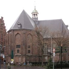
Sint-Joriskerk
328 m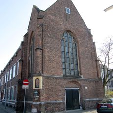
Sint-Jacobskapel
376 m
Puddingfabriek Venlo
217 m
Romertoren
94 m
Schinkemenke
135 m
De Luif
219 m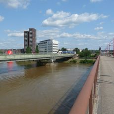
Maasbrug
304 m
Voormalig Klooster Trans Cedron
331 m
Huize Ottenheym
271 m
Lomstraat
345 m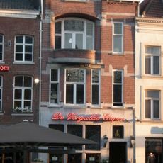
Café De Vergulde Gaper
244 m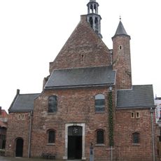
Dominicanenkapel
362 m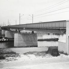
Spoorbrug Venlo
253 m
Zoek de Stilte die Bezielt
333 m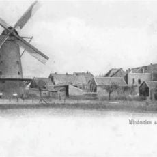
Molen van Van der Steen
368 m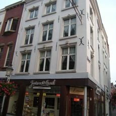
Stad Frankfort
279 m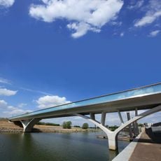
Weerdsprong
147 m
Restaurant Hemingway
192 m
Huize Ottenheym-Derckx
273 m
Parade 62, Venlo
380 m
Vleesstraat 45, Venlo
241 m
Parade 64, Venlo
384 mReviews
Visited this place? Tap the stars to rate it and share your experience / photos with the community! Try now! You can cancel it anytime.
Discover hidden gems everywhere you go!
From secret cafés to breathtaking viewpoints, skip the crowded tourist spots and find places that match your style. Our app makes it easy with voice search, smart filtering, route optimization, and insider tips from travelers worldwide. Download now for the complete mobile experience.

A unique approach to discovering new places❞
— Le Figaro
All the places worth exploring❞
— France Info
A tailor-made excursion in just a few clicks❞
— 20 Minutes