
Wallen van Sluis, natuurgebied in Nederland
Location: Sluis
Inception: 14 century
Part of: Staats-Spaanse Lines
GPS coordinates: 51.30922,3.39392
Latest update: March 25, 2025 21:54
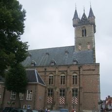
Belfry of Sluis
545 m
Kasteel van Sluis
794 m
Joannes de Doperkerk
605 m
De Brak
528 m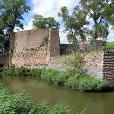
Stenen Beer, Sluis
824 m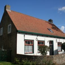
Singel 13, Sint Anna ter Muiden
2 km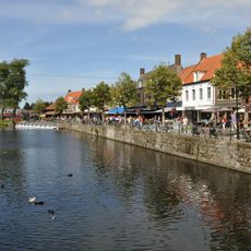
Stenen Kade
663 m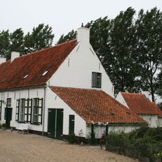
Graafjansdijk 7, Sint Anna ter Muiden
2 km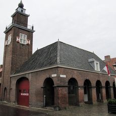
Firestation
514 m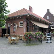
Kaai 32, Sluis
693 m
Jonkvrouw Geilstraat 12, Sint Anna ter Muiden
2 km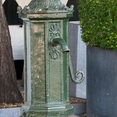
Pomp Beestenmarkt, Sluis
513 m
Jonkvrouw Geilstraat 1, Sint Anna ter Muiden
2 km
Jonkvrouw Geilstraat 3, Sint Anna ter Muiden
2 km
Percelen deel uitmakend van het voormalige verdedigingsstelsel
824 m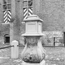
Pomp
535 m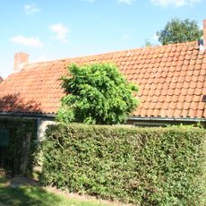
Dubbele dwarshuizen
2 km
Beestenmarkt 1, Sluis
500 m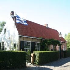
Singel 7, Sint Anna ter Muiden
2 km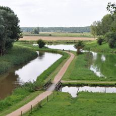
Percelen deel uitmakend van het voormalige verdedigingsstelsel
720 m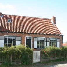
Singel 15, Sint Anna ter Muiden
2 km
Singel 17, Sint Anna ter Muiden
2 km
Terrein waarin overblijfselen van het voormalige kasteel van sluis
794 m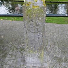
Vijf grenspalen
657 m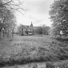
Franciskanessenklooster
1.7 km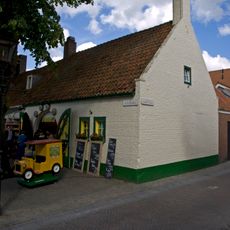
Beestenmarkt 3, Sluis
515 m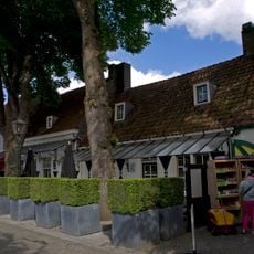
Beestenmarkt 2, Sluis
509 m
Pand zonder verdieping laag huisje onder zadeldak, oud-hollandse pannen
2 kmReviews
Visited this place? Tap the stars to rate it and share your experience / photos with the community! Try now! You can cancel it anytime.
Discover hidden gems everywhere you go!
From secret cafés to breathtaking viewpoints, skip the crowded tourist spots and find places that match your style. Our app makes it easy with voice search, smart filtering, route optimization, and insider tips from travelers worldwide. Download now for the complete mobile experience.

A unique approach to discovering new places❞
— Le Figaro
All the places worth exploring❞
— France Info
A tailor-made excursion in just a few clicks❞
— 20 Minutes