
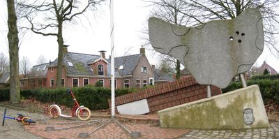
Oorlogsmonument Oldehove, oorlogsmonument in Groningen, Nederland
Location: Westerkwartier
Inception: 1990
Official opening: May 5, 1990
Address: T.P. Oosterhoffstraat 1, 9883 PJ, Oldehove (Zuidhorn), Groningen, Nederland
GPS coordinates: 53.30410,6.39424
Latest update: March 8, 2025 16:19
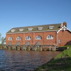
De Waterwolf
2.8 km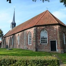
Hervormde kerk
2.4 km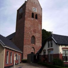
Ludgeruskerk
37 m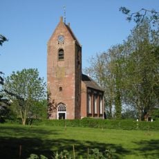
Church of Saaksum
2 km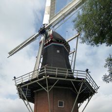
De Leeuw
109 m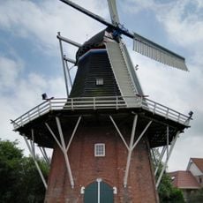
Aeolus
230 m
Rijksbeschermd gezicht Niehove
2.3 km
Rijksbeschermd gezicht Saaksum
2 km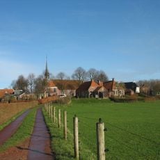
Wierde Niehove
2.4 km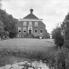
Hoofdweg 4, Zuurdijk
2.3 km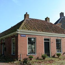
Kloosterweg 2, Niehove
2.4 km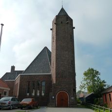
Gereformeerde kerk
266 m
Kop-hals-romp-boerderij
1.9 km
Kerkpad 1
2.4 km
Kerkstraat 6-7
2.4 km
Schoolstraat 21
108 m
Wierden)
2.6 km
Molenpad 2
2.3 km
Dwarshuisboerderij met aangebouwde bijschuur, genaamd "Nieuw Retkemastede"
2.1 km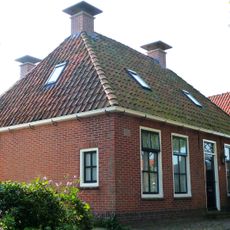
Hervormde pastorie
2.4 km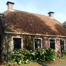
Kerkstraat 3 (Niehove)
2.4 km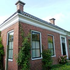
Kerkpad 3
2.4 km
Terrein met een wierde (Aalsum)
1.6 km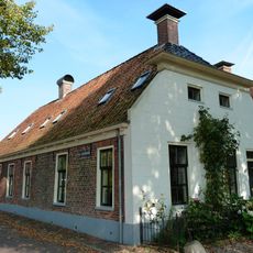
Ds. J. Wiegersweg 2
2.4 km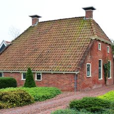
Hofmastraat 15
198 m
Terrein met een wierde (Kenwerd)
830 m
Hervormde pastorie met aangebouwde consistorie
19 m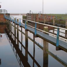
Schutsluis bij De Waterwolf
2.8 kmVisited this place? Tap the stars to rate it and share your experience / photos with the community! Try now! You can cancel it anytime.
Discover hidden gems everywhere you go!
From secret cafés to breathtaking viewpoints, skip the crowded tourist spots and find places that match your style. Our app makes it easy with voice search, smart filtering, route optimization, and insider tips from travelers worldwide. Download now for the complete mobile experience.

A unique approach to discovering new places❞
— Le Figaro
All the places worth exploring❞
— France Info
A tailor-made excursion in just a few clicks❞
— 20 Minutes