
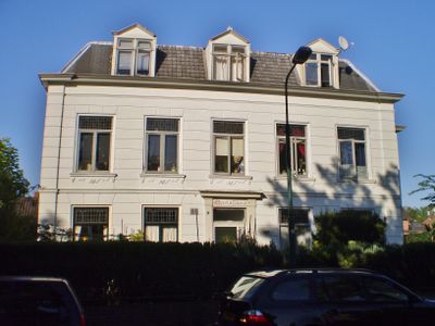
Maria Oord, gemeentelijk monument in Baarn
Location: Baarn
Official opening: 1875
GPS coordinates: 52.21378,5.29549
Latest update: March 3, 2025 22:57
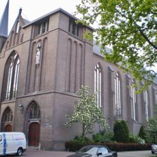
Heilige Nicolaaskerk
60 m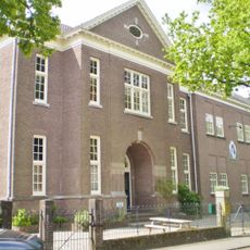
Kerkstraat 32
45 m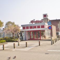
De Speeldoos
188 m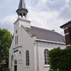
Witte kerkje
240 m
Nutsgebouw
182 m
Brinkstraat 25-27
217 m
Huize Veltheim
273 m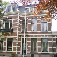
Kerkstraat 4
248 m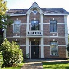
Kerkstraat 24
97 m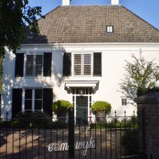
Eemwijk
126 m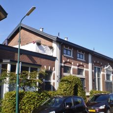
Weteringstraat 17-19 (Baarn)
174 m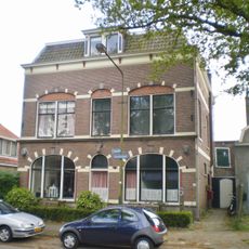
Kerkstraat 6
169 m
Faas Eliaslaan 5-7 (Baarn)
226 m
Brinkstraat 34
203 m
Kerkstraat 46 (Baarn)
86 m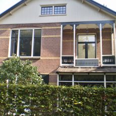
Villa Gerarda
231 m
Brink 12
291 m
Kerkstraat 21
84 m
Brinkstraat 40-42 (Baarn)
178 m
Villa Cornelie
291 m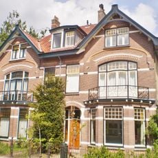
Hoofdstraat 31-33
132 m
Brinkstraat 33-35
203 m
Faas Eliaslaan 18
273 m
Villa Lindenoord en De Viersprong
228 m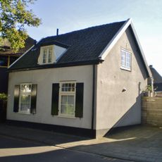
Kerkstraat 48
95 m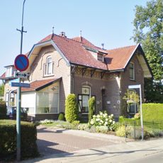
Faas Eliaslaan 6 (Baarn)
204 m
Veldheimweg 1-7
285 m
Veldheimweg 25-27
298 mVisited this place? Tap the stars to rate it and share your experience / photos with the community! Try now! You can cancel it anytime.
Discover hidden gems everywhere you go!
From secret cafés to breathtaking viewpoints, skip the crowded tourist spots and find places that match your style. Our app makes it easy with voice search, smart filtering, route optimization, and insider tips from travelers worldwide. Download now for the complete mobile experience.

A unique approach to discovering new places❞
— Le Figaro
All the places worth exploring❞
— France Info
A tailor-made excursion in just a few clicks❞
— 20 Minutes