
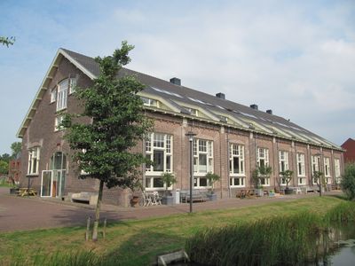
Ripperdakazerne: tweede overdekte rijbaan, building in Haarlem, Netherlands
Location: Haarlem
Part of: Ripperda Kazerne
Address: Schoterweg 71
GPS coordinates: 52.39320,4.63607
Latest update: March 2, 2025 20:37

Dolhuys
332 m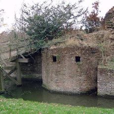
Huis ter Kleef
316 m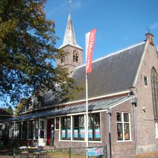
Museum of the Mind Dolhuys
318 m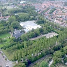
Haarlemmer Kweektuin
290 m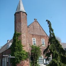
Kaatsbaan
301 m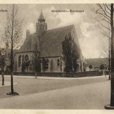
Noorderkerk
187 m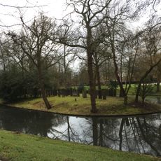
Joodse Begraafplaats Kleverlaan
334 m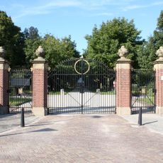
Begraafplaats Kleverlaan, hoofdingang
266 m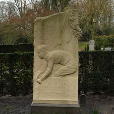
Jaap Eden's grave
334 m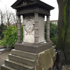
Graf C. Outshoorn
334 m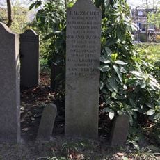
Grafmonument van Jan David Zocher
334 m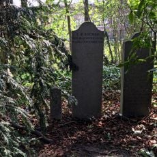
Grafmonument van Louis Paul Zocher
334 m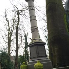
Grafmonument Jan Outshoorn
334 m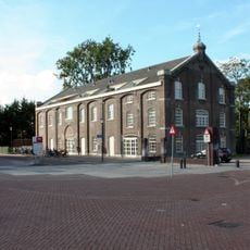
Ripperdakazerne: fouragegebouw
203 m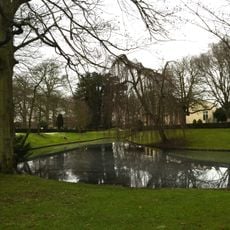
Begraafplaats Kleverlaan, parkaanleg
334 m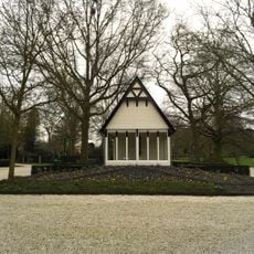
Abri
334 m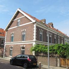
Ripperda Kazerne
93 m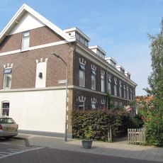
Ripperdakazerne: dienstwoning
65 m
Ripperdakazerne: manage en vier paardenstallen
84 m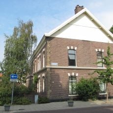
Ripperdakazerne: dienstwoning
58 m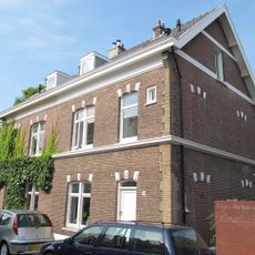
Ripperdakazerne: dienstwoning
47 m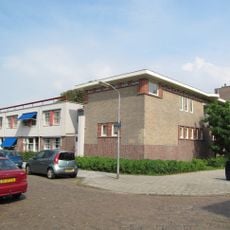
Coöperatie Vooruitgang
316 m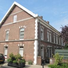
Ripperdakazerne: dienstwoning
76 m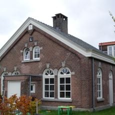
Ripperdakazerne: hoefsmederij
175 m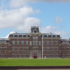
Ripperdakazerne: hoofdgebouw
138 m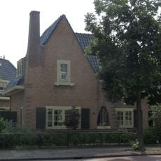
Vrijstaande woning, onderdeel van het complex Onder Dak
336 m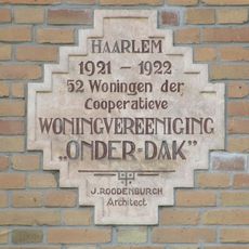
Engelszstraat 29, Haarlem
319 m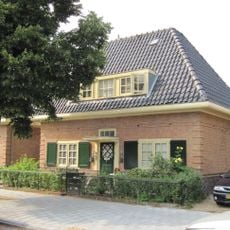
Vrijstaande woning, onderdeel van het complex Onder Dak
323 mReviews
Visited this place? Tap the stars to rate it and share your experience / photos with the community! Try now! You can cancel it anytime.
Discover hidden gems everywhere you go!
From secret cafés to breathtaking viewpoints, skip the crowded tourist spots and find places that match your style. Our app makes it easy with voice search, smart filtering, route optimization, and insider tips from travelers worldwide. Download now for the complete mobile experience.

A unique approach to discovering new places❞
— Le Figaro
All the places worth exploring❞
— France Info
A tailor-made excursion in just a few clicks❞
— 20 Minutes