
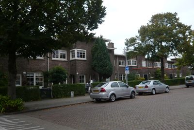
Hoofmanstraat 14-72, Haarlem, مبنى سكني في هارلم، هولندا
Location: Haarlem
Part of: Rosehaghe
Address: Hoofmanstraat 14 t/m 72 (behoort bij complex Rosehaghe/Anslijnstraat ong.)
GPS coordinates: 52.38509,4.62234
Latest update: April 16, 2025 18:43

Patronaat
483 m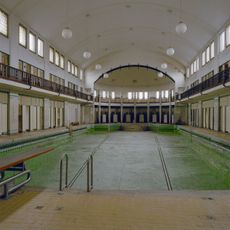
Stoop's Bad
615 m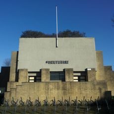
De Houtvaart
615 m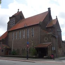
Old Catholic Church of Sts Anne and Mary
590 m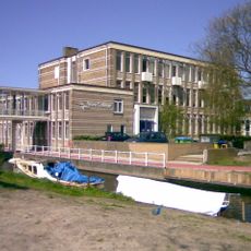
Mons Aurea, Garenkokerskade
518 m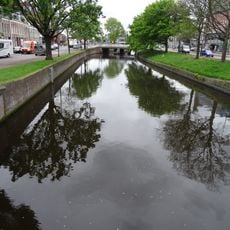
Raaksbrug
543 m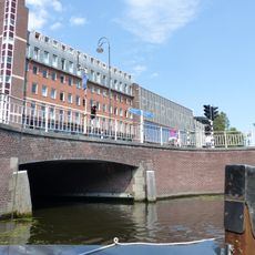
Brouwersbrug
520 m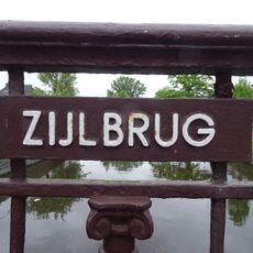
Zijlbrug
538 m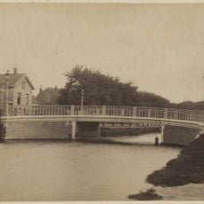
Prins Hendrikbrug
604 m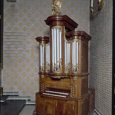
Kabinetorgel Künckel Haarlem
584 m
Leidsevaart 2
498 m
Woonblok in eclectisch-renaissancistische stijl
616 m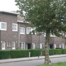
Brouwerskade 59-77, Haarlem
163 m
Main building
611 m
Woningblok van 13 woningen
101 m
Tweede Volksbadhuis
603 m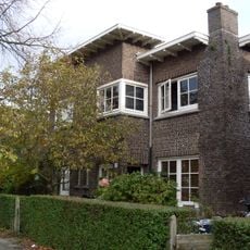
Woningblok van 2 woningen
63 m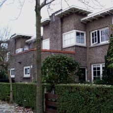
Woningblok van 14 woningen
101 m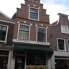
Zijlstraat 3, Haarlem
581 m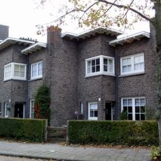
Woningblok van 3 woningen
39 m
Hoekhuis met afgeschuinde hoek, lijstgevel uit laatst der 18e eeuw
575 m
Woningblok van 14 woningen
156 m
Woningblok van 4 woningen
142 m
Zijlstraat 5, Haarlem
585 m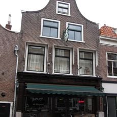
Zijlstraat 9, Haarlem
590 m
Hoofmanstraat 12, Haarlem
79 m
Woningblok van 4 woningen
168 m
Stoop's Bad: fietsstalling
611 mReviews
Visited this place? Tap the stars to rate it and share your experience / photos with the community! Try now! You can cancel it anytime.
Discover hidden gems everywhere you go!
From secret cafés to breathtaking viewpoints, skip the crowded tourist spots and find places that match your style. Our app makes it easy with voice search, smart filtering, route optimization, and insider tips from travelers worldwide. Download now for the complete mobile experience.

A unique approach to discovering new places❞
— Le Figaro
All the places worth exploring❞
— France Info
A tailor-made excursion in just a few clicks❞
— 20 Minutes