
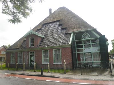
Streekweg 148, Hoogkarspel, Rijksmonument op Streekweg 148
Location: Drechterland
Address: Streekweg 148
GPS coordinates: 52.69328,5.16983
Latest update: March 8, 2025 11:56
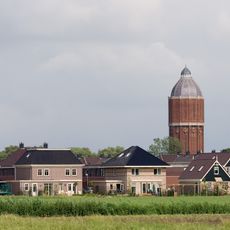
Hoogkarspel water tower
373 m
Binnenwijzend
2 km
Sint-Nicolaaskerk
2.4 km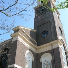
Sint-Martinuskerk, Westwoud
1.8 km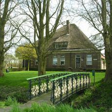
Westerwijzend
796 m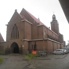
Laurentiuskerk
564 m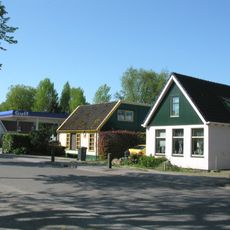
De Hout
2.4 km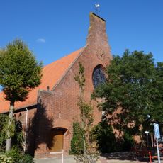
Sint-Jozefkerk
3 km
Heidens Kerkje
2.9 km
Hervormde Kerk
2.4 km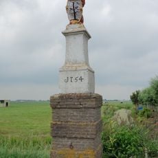
Banpaal
1.3 km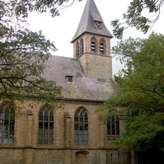
Nederlands Hervormde Kerk
2.2 km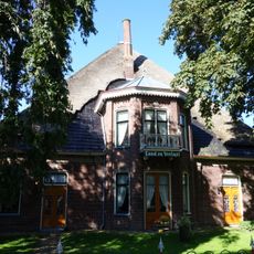
Land en Veelust
3.1 km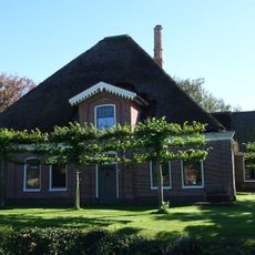
Stolpboerderij van het afgeleide Westfriese type
2.7 km
Gemeentehuis
2.6 km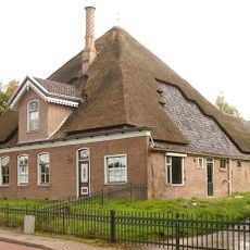
Dr. Nuijensstraat 22, Westwoud
2.5 km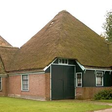
Binnenwijzend 78, Westwoud
1.7 km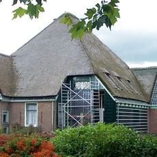
Dr. Nuijensstraat 63, Westwoud
1.6 km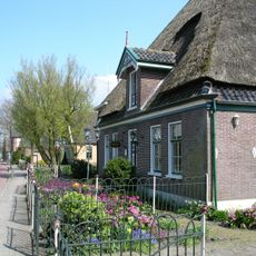
Dr. Nuijensstraat 102, Westwoud
1.7 km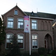
Sint-Nicolaaskerk
2.4 km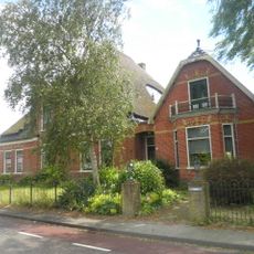
Stolpboerderij van het afgeleide Noordhollandse type
753 m
Terrein waarin overblijfselen van bewoning en begraving
2.8 km
Dr. Nuijensstraat 21, Westwoud
2.5 km
Dr. Nuijensstraat 82, Westwoud
1.8 km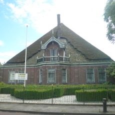
Streekweg 20, Hoogkarspel
1.1 km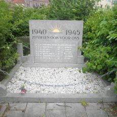
Oorlogsmonument
635 m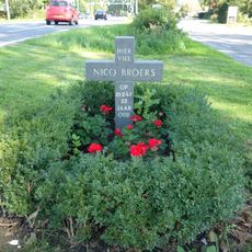
Monument voor Nico Broers
2.5 km
Streekweg 30, Hoogkarspel
957 mVisited this place? Tap the stars to rate it and share your experience / photos with the community! Try now! You can cancel it anytime.
Discover hidden gems everywhere you go!
From secret cafés to breathtaking viewpoints, skip the crowded tourist spots and find places that match your style. Our app makes it easy with voice search, smart filtering, route optimization, and insider tips from travelers worldwide. Download now for the complete mobile experience.

A unique approach to discovering new places❞
— Le Figaro
All the places worth exploring❞
— France Info
A tailor-made excursion in just a few clicks❞
— 20 Minutes