
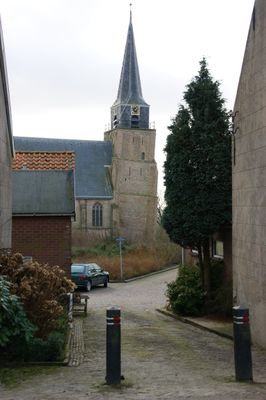
Johannes de Doperkerk, church building in Binnenmaas, Netherlands
Location: Binnenmaas
Address: Kerkplein 12 3274BL 3274BL
GPS coordinates: 51.82543,4.47371
Latest update: March 11, 2025 12:41
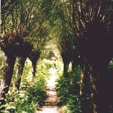
Carnisse Grienden
1.7 km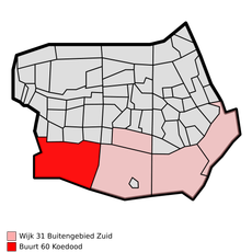
Koedood
2.4 km
Nederlands Hervormde Kerk, Mijnsheerenland
3.3 km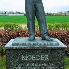
Mother
819 m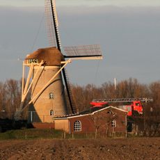
Molen van Goidschalxoord
1.5 km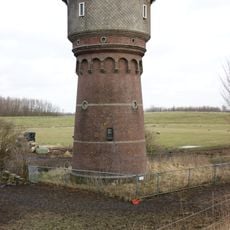
Watertoren (Heinenoord)
740 m
Nederlands Hervormde Kerk: Laurentius /Gertrudis
3.3 km
Oost Leeuwenstein
216 m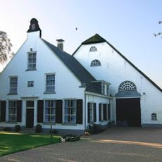
Dorpsstraat 79, Heinenoord
358 m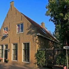
Goidschalxoordsedijk 24, Heinenoord
1.1 km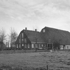
Portland
2.2 km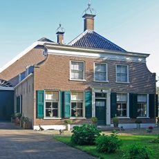
Hoflaan 1, Mijnsheerenland
3.5 km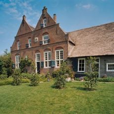
Rheestein
2.9 km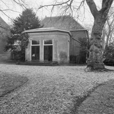
Hof van Moerkerken: koetshuis
3.5 km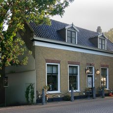
Dorpsstraat 26, Heinenoord
199 m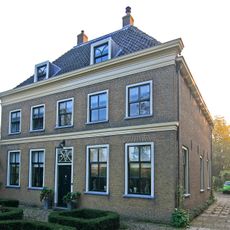
Hofweg 7, Heinenoord
60 m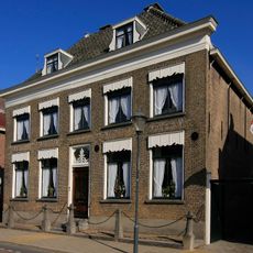
Wilhelminastraat 33, Mijnsheerenland
3.4 km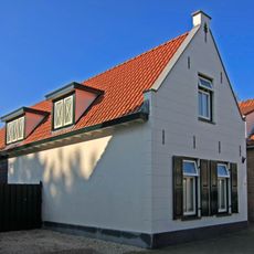
Pand met gepleisterde puntgevel, waarin topsieranker
3.4 km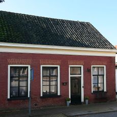
Dwarshuis van alleen begane-grond met zadeldak tussen puntgevels. Rood gesausd metselwerk met gele vensterstrekken
3.4 km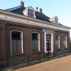
Rentenierswoning
91 m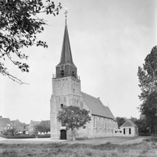
Heinenoord church tower
0 m
Raadhuislaan 7, Mijnsheerenland
3.2 km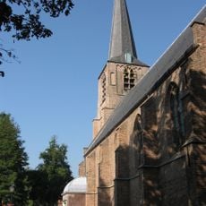
Nederlands Hervormde Kerk: Toren
3.3 km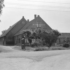
Hoeve Johanna
3.2 km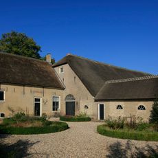
Brabersweg 4, Mijnsheerenland
2.8 km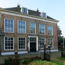
Hofweg 13, Heinenoord
107 m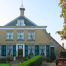
Dorpsstraat 63, Heinenoord
88 m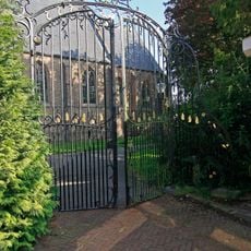
Nederlands Hervormde Kerk: smeedijzeren toegangshek, uitgevoerd in Lodewijk XV-stijl, met gebogen zijstukken en top, versierd met voluten en rocaillemotieven, deels verguld
3.3 kmReviews
Visited this place? Tap the stars to rate it and share your experience / photos with the community! Try now! You can cancel it anytime.
Discover hidden gems everywhere you go!
From secret cafés to breathtaking viewpoints, skip the crowded tourist spots and find places that match your style. Our app makes it easy with voice search, smart filtering, route optimization, and insider tips from travelers worldwide. Download now for the complete mobile experience.

A unique approach to discovering new places❞
— Le Figaro
All the places worth exploring❞
— France Info
A tailor-made excursion in just a few clicks❞
— 20 Minutes