
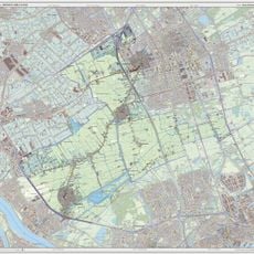
Noord-Lierweg 4, De Lier, farmhouse in Westland, Netherlands
Location: Westland
Address: Noordlierweg 4
GPS coordinates: 51.98621,4.28257
Latest update: March 25, 2025 08:25

Het Kraaiennest
1.9 km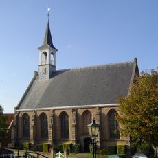
Reformed church of Schipluiden
2.5 km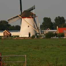
Groeneveldse Molen
692 m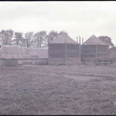
Oostbuurt
2.2 km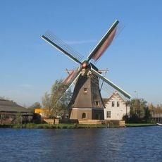
De Korpershoek
2.4 km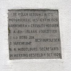
Oude Liermolen
1.1 km
Zeven Gaten
1.7 km
Diepenburch
1.8 km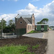
Gemaal Oude en Nieuwe Broekpolder
1.6 km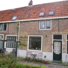
Het Hofje Schipluiden
2.5 km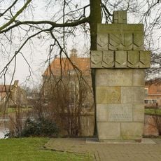
Oorlogsmonument Schipluiden
2.5 km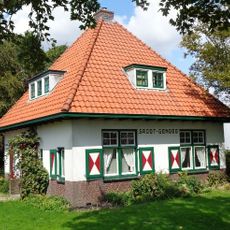
Groot-Genoeg
2.5 km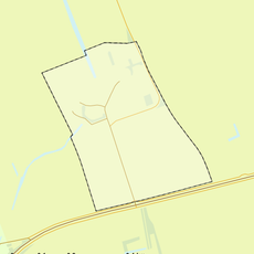
Rijksbeschermd gezicht 't Woudt
1.3 km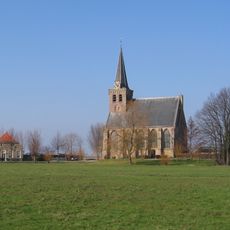
Dorpskerk
1.4 km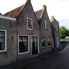
Dorpsstraat 11, Schipluiden
2.5 km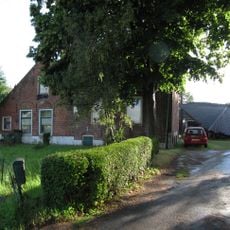
Rijksstraatweg 25, Schipluiden
2.5 km
Gepleisterde boerderij uit de 17e of 18e eeuw met fraai bouwlichaam. Rieten schilddak en vensters met negenruitsschuiframen.
358 m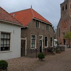
't Woudt 23, Schipluiden
1.3 km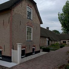
Linde Hoeve, 't Woudt
1.2 km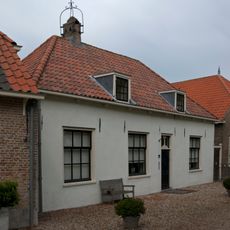
't Woudt 21, Schipluiden
1.3 km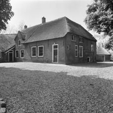
Woudtzicht 1, De Lier
135 m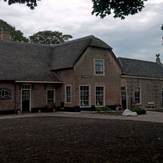
't Woudt 6, Schipluiden
1.3 km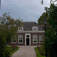
Pastorie
1.4 km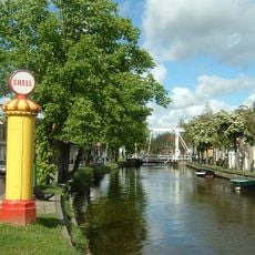
Gasoliepomp
2.5 km
Hoeve op L-vormige plattegrond onder pannen daken. Daklijst met consoles
1.3 km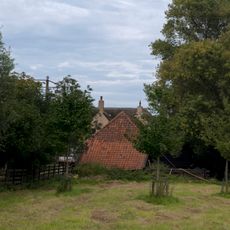
Woudseweg 180, 't Woudt
903 m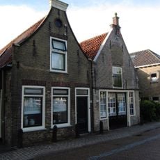
Dorpsstraat 18, Schipluiden
2.5 km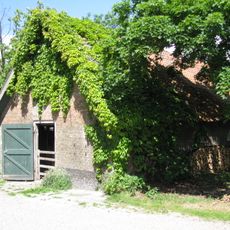
Schuur met rode pannen
2.5 kmVisited this place? Tap the stars to rate it and share your experience / photos with the community! Try now! You can cancel it anytime.
Discover hidden gems everywhere you go!
From secret cafés to breathtaking viewpoints, skip the crowded tourist spots and find places that match your style. Our app makes it easy with voice search, smart filtering, route optimization, and insider tips from travelers worldwide. Download now for the complete mobile experience.

A unique approach to discovering new places❞
— Le Figaro
All the places worth exploring❞
— France Info
A tailor-made excursion in just a few clicks❞
— 20 Minutes