
Terrein waarin sporen van bewoning en/of begraving, archaeological site in Sluis, Netherlands
Location: Sluis
Address: Eecloosche
GPS coordinates: 51.26965,3.44996
Latest update: March 15, 2025 17:03
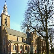
Saint Bavo Church
366 m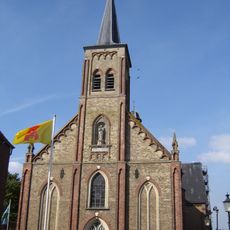
Heilige Maria Hemelvaartkerk
736 m
Het Lam (Aardenburg)
573 m
Markt 28, Aardenburg
432 m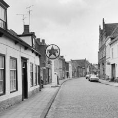
Burgerweeshuis
554 m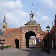
Westpoort
727 m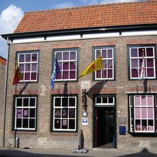
Marktstraat 18, Aardenburg
515 m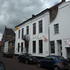
Weststraat 38, Aardenburg
581 m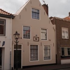
Weststraat 75, Aardenburg
673 m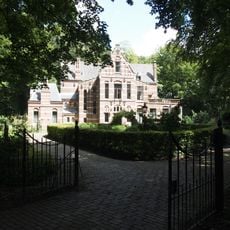
Villa
1.4 km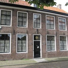
Tuimelsteenstraat 18, Aardenburg
320 m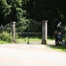
Toegangshek, vermoedelijk rond 1885 gebouwd
1.6 km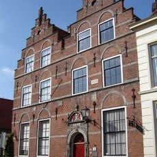
Weststraat 22, Aardenburg
548 m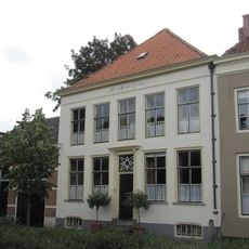
Markt 26, Aardenburg
420 m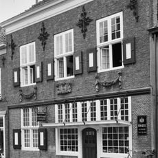
Weststraat 85, Aardenburg
694 m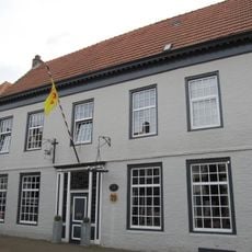
Weststraat 63, Aardenburg
644 m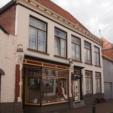
Weststraat 55, Aardenburg
621 m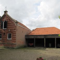
Paardenstal gebouwd in eclectische architectuur
469 m
Weststraat 79, Aardenburg
681 m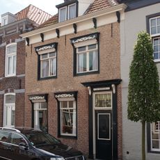
Weststraat 61, Aardenburg
638 m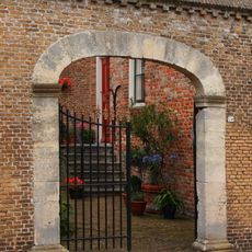
Perceelsgedeelte van een tweebeukig pand met dubbele trapgevel aan de straat
551 m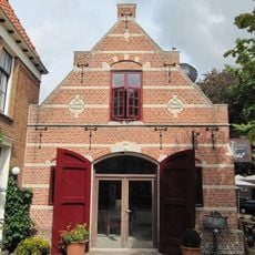
Brandspuithuisje annex arrestantenlokaal
460 m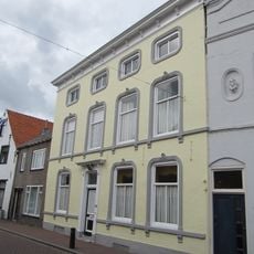
Weststraat 56, Aardenburg
635 m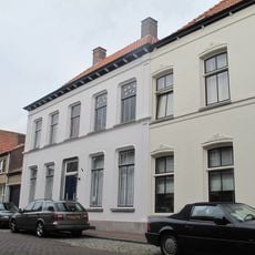
Weststraat 84, Aardenburg
702 m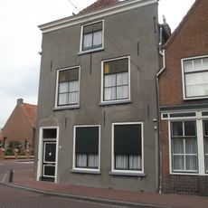
Weststraat 90, Aardenburg
721 m
Park in Engelse landschapsstijl
1.2 km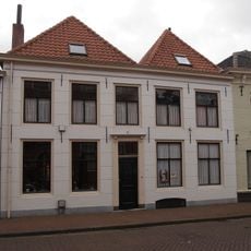
Vijf traveeën breed pand met gepleisterde lijstgevel
527 m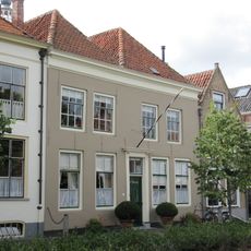
Markt 27, Aardenburg
427 mReviews
Visited this place? Tap the stars to rate it and share your experience / photos with the community! Try now! You can cancel it anytime.
Discover hidden gems everywhere you go!
From secret cafés to breathtaking viewpoints, skip the crowded tourist spots and find places that match your style. Our app makes it easy with voice search, smart filtering, route optimization, and insider tips from travelers worldwide. Download now for the complete mobile experience.

A unique approach to discovering new places❞
— Le Figaro
All the places worth exploring❞
— France Info
A tailor-made excursion in just a few clicks❞
— 20 Minutes