
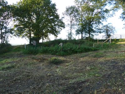
Neolithic flint mines of Banholt, archaeological site in Eijsden-Margraten, Netherlands
Location: Eijsden-Margraten
Address: In de Banholtergrubbe
GPS coordinates: 50.79140,5.79844
Latest update: March 10, 2025 00:07
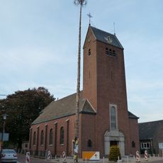
Sint-Gerlachuskerk
814 m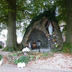
Lourdesgrot Banholt
789 m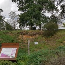
Groeve Banholtergrubbe
55 m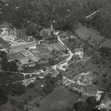
Mheer
1 km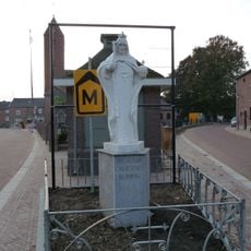
Christ the King
865 m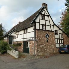
Duivenstraat 2, Mheer
1 km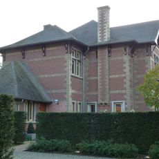
Villa Jonge Hagen 7
1.1 km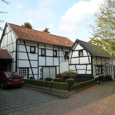
Duivenstraat bij 13, Mheer
1.1 km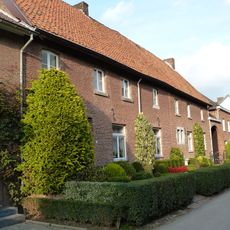
Bovenste Hof
1.1 km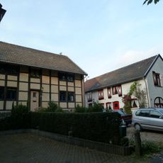
Leemstraat 3, Mheer
892 m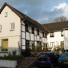
Duivenstraat 4, Mheer
1 km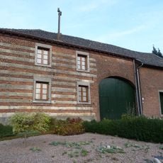
Dalestraat 24, Banholt
714 m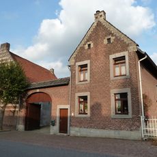
Duivenstraat 10, Mheer
941 m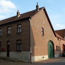
Duivenstraat 12, Mheer
929 m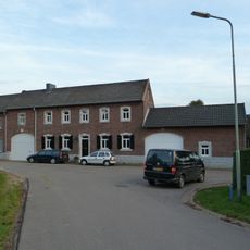
Op gen Besseme
1.1 km
Monument Old Hickory
883 m
Rondelenstraat 8, Mheer
1.1 km
Bredeweg 5-7, Banholt
901 m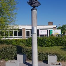
RAF memorial Mheer
817 m
Dalestraat 20, Banholt
751 m
Bredeweg 14, Banholt
944 m
Bredeweg 2A, Banholt
874 m
Mheerderweg 65, Banholt
601 m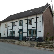
Duivenstraat 19, Mheer
999 m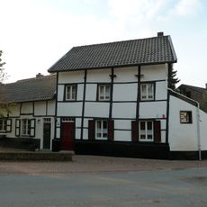
'an gen Put'
1 km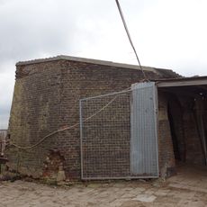
Windmill of Banholt
322 m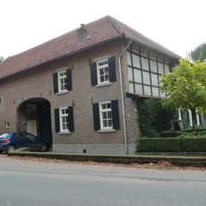
Duivenstraat 3, Mheer
1.2 km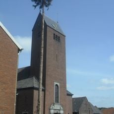
Sint Gerlachus-den
814 mReviews
Visited this place? Tap the stars to rate it and share your experience / photos with the community! Try now! You can cancel it anytime.
Discover hidden gems everywhere you go!
From secret cafés to breathtaking viewpoints, skip the crowded tourist spots and find places that match your style. Our app makes it easy with voice search, smart filtering, route optimization, and insider tips from travelers worldwide. Download now for the complete mobile experience.

A unique approach to discovering new places❞
— Le Figaro
All the places worth exploring❞
— France Info
A tailor-made excursion in just a few clicks❞
— 20 Minutes