
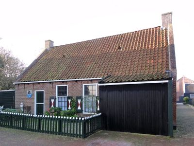
Helft van een pand onder zadeldak tegen topgevel met vlechtingen, building in Dongeradeel, Netherlands
Location: Dongeradeel
Address: Muntjestege 10
GPS coordinates: 53.40177,6.01548
Latest update: March 5, 2025 14:44

Mariakerk
49 m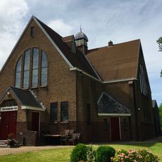
Nes Theaterchurch
2.1 km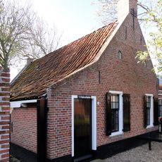
Fiskerspaad 4, Moddergat
4 km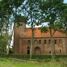
Protestant church of Hantumhuizen
3.4 km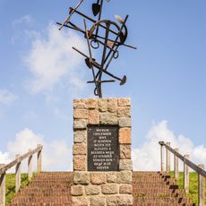
Vissersmonument, Wierum
82 m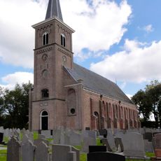
Grote Kerk (Ternaard)
3.9 km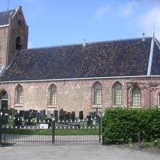
Sint-Johanneskerk
2.2 km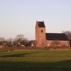
Saint Cecilia Church
3.6 km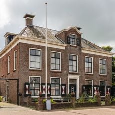
Waterschapshuis
15 m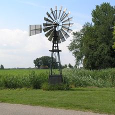
Windmotor Oosternijkerk
4 km
Rijksbeschermd gezicht Moddergat
3.9 km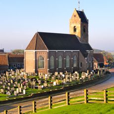
Mariakerk
54 m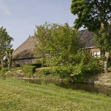
Popta State
3.2 km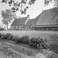
Wierumerwei 12, Nes
1.9 km
Ropsterwei 5, Oosternijkerk
3.9 km
Reddingsboatreed 4, Moddergat
3.9 km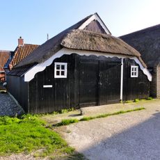
De Oere 2, Moddergat
3.8 km
De Oere 10-12, Moddergat
3.9 km
Reddingsboatreed 2, Moddergat
3.9 km
Woonhuis met pakhuis in overgangsstijl
2.4 km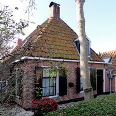
Fiskerspaad 2, Moddergat
4 km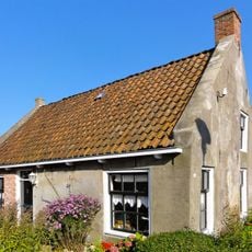
Reddingsboatreed 8, Moddergat
3.9 km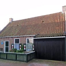
Muntsjestege 10, Wierum
0 m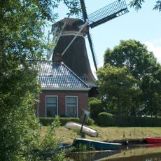
Miedemûne
2.2 km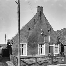
Pand onder zadeldak tegen topgevel met kleine openingen in de top
46 m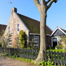
Reddingsboatreed 6, Moddergat
3.9 km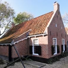
Fiskerspaad 6, Moddergat
4 km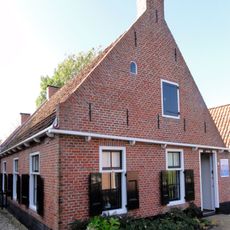
Fiskerspaad 8, Moddergat
4 kmReviews
Visited this place? Tap the stars to rate it and share your experience / photos with the community! Try now! You can cancel it anytime.
Discover hidden gems everywhere you go!
From secret cafés to breathtaking viewpoints, skip the crowded tourist spots and find places that match your style. Our app makes it easy with voice search, smart filtering, route optimization, and insider tips from travelers worldwide. Download now for the complete mobile experience.

A unique approach to discovering new places❞
— Le Figaro
All the places worth exploring❞
— France Info
A tailor-made excursion in just a few clicks❞
— 20 Minutes