
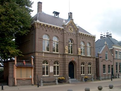
Raadhuis, Rathaus in den Niederlanden
Location: Koggenland
Address: Dorpsstraat 106
GPS coordinates: 52.67553,4.90735
Latest update: April 5, 2025 12:01
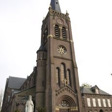
Sint-Victorkerk
155 m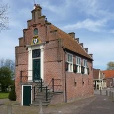
Raadhuis
3.5 km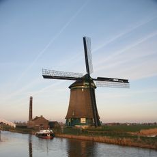
Kaagmolen
2.1 km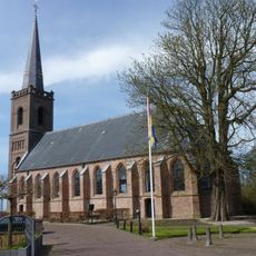
Nederlands Hervormde Kerk
3.5 km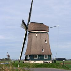
Berkmeermolen
2.1 km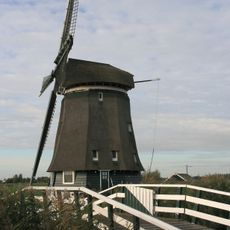
Veenhuizer
2.4 km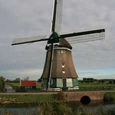
De Vier Winden
2.8 km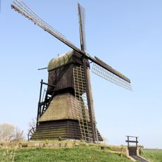
Weel & Braken
948 m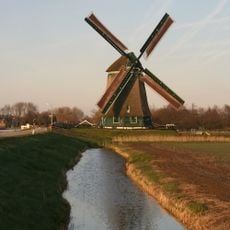
Obdammermolen
1.4 km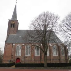
Hervormde kerk
2.5 km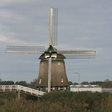
Polder Hensbroek
3.2 km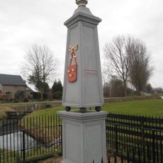
Grenspaal, Obdam
1.5 km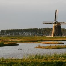
Nieuw Leven
3.2 km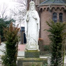
Statue of Sacred Heart of Jesus Christ
145 m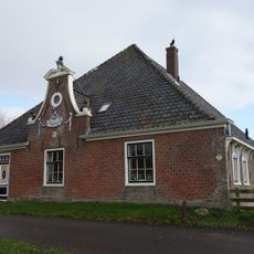
Zandwerven 45, Spanbroek
2.8 km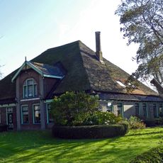
Greta Hoeve
2.4 km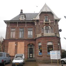
Dorpsstraat 111, Obdam
58 m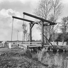
Wipbrug
2.7 km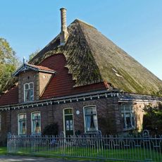
Dorpsweg 59, Hensbroek
2.6 km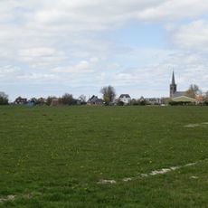
Terrein waarin sporen van bewoning
3.5 km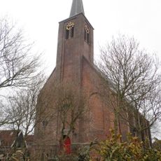
Hervormde Kerk, Hensbroek
2.5 km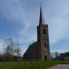
Nederlands Hervormde Kerk, Spanbroek
3.5 km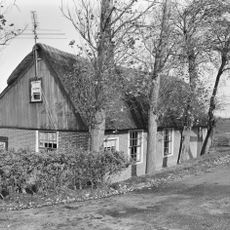
Hogeweg 1, Opmeer
2.8 km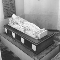
Mausoleum of Reinoud van Brederode in the Reformed Church
3.2 km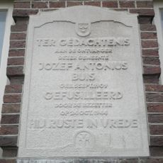
Monument voor Jozef Buis
12 m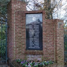
Oorlogsmonument
3.5 km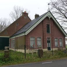
Hoeve Arko
1.4 km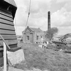
Gemaal Kaagpolder
2.2 kmReviews
Visited this place? Tap the stars to rate it and share your experience / photos with the community! Try now! You can cancel it anytime.
Discover hidden gems everywhere you go!
From secret cafés to breathtaking viewpoints, skip the crowded tourist spots and find places that match your style. Our app makes it easy with voice search, smart filtering, route optimization, and insider tips from travelers worldwide. Download now for the complete mobile experience.

A unique approach to discovering new places❞
— Le Figaro
All the places worth exploring❞
— France Info
A tailor-made excursion in just a few clicks❞
— 20 Minutes