
Swing bridge Souburg, road bridge in Vlissingen, Netherlands
Location: Vlissingen
Inception: 1871
Address: Spoorstraat bij 1
GPS coordinates: 51.46386,3.59368
Latest update: March 6, 2025 23:20

Groot-Abeele
1.5 km
De Pere
236 m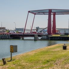
Keersluisbrug
1.7 km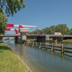
Sloebrug
706 m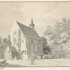
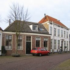
Kerk van West-Souburg
247 m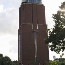
Watertoren Oost-Souburg
782 m
Nieuwe Abeele
1.5 km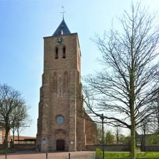
Hervormde kerk
757 m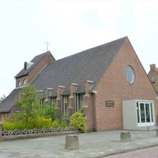
Sint-Martinuskerk
281 m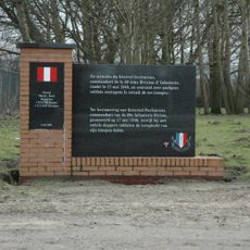
Monument voor generaal M.E. Deslaurens
1.5 km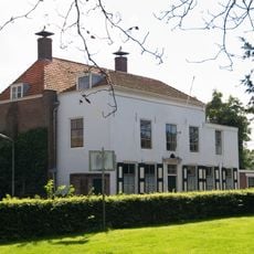
Parklaan 1, Vlissingen
238 m
Huis Abeele
1.5 km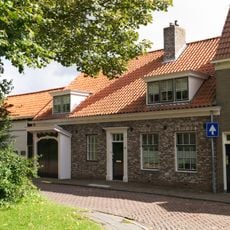
Marnixplein 35, Vlissingen
191 m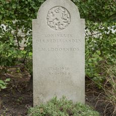
Verzetsgraf
1.2 km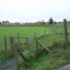
Karolingische burg, Vlissingen
731 m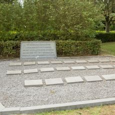
Bevrijdingsmonument
1.2 km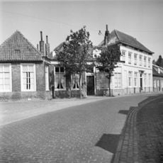
Grote Abeele 7, Oost-Souburg
1.5 km
Prins Hendrikweg 3
1.7 km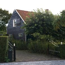
Ritthemsestraat 56, Oost-Souburg
884 m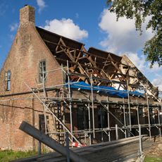
Kromwegesingel 18, Oost-Souburg
783 m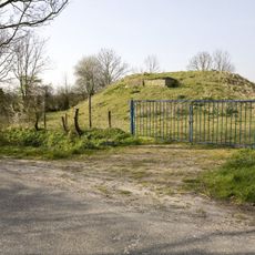
Vliedberg Bergweg
1.9 km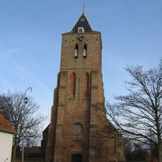
Toren NH kerk
746 m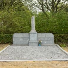
De Volharding
1.2 km
Indië-monument
1.2 km
Brits ereveld
1.2 km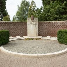
Monument voor Burgerslachtoffers
1.2 km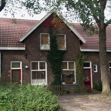
Veertien blokken van zes woningen, verspreid in de woonwijk gesitueerd. De blokken hebben een rechthoekige plattegrond
2.1 km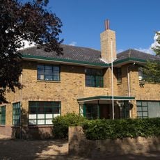
Dokterswoning gebouwd in Interbellum architectuur
300 mReviews
Visited this place? Tap the stars to rate it and share your experience / photos with the community! Try now! You can cancel it anytime.
Discover hidden gems everywhere you go!
From secret cafés to breathtaking viewpoints, skip the crowded tourist spots and find places that match your style. Our app makes it easy with voice search, smart filtering, route optimization, and insider tips from travelers worldwide. Download now for the complete mobile experience.

A unique approach to discovering new places❞
— Le Figaro
All the places worth exploring❞
— France Info
A tailor-made excursion in just a few clicks❞
— 20 Minutes