
Terrain with traces of burial from the early Middle Ages near Vlodrop
Terrain with traces of burial from the early Middle Ages near Vlodrop, archaeological site near Vlodrop, Netherlands
Location: Roerdalen
Address: Holsterweg
GPS coordinates: 51.13656,6.05860
Latest update: April 28, 2025 10:50
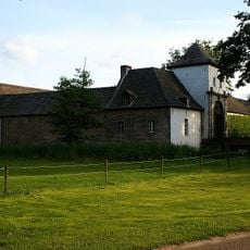
Daelenbroeck Castle
1.9 km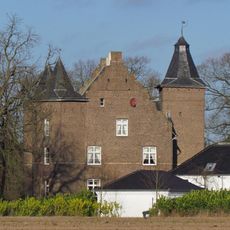
Schloss Effeld
3.1 km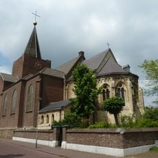
Sint-Sebastianuskerk
1.9 km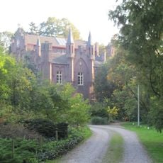
Aerwinkel Castle
3.5 km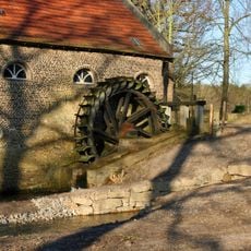
Gitstappermolen
3.5 km
Bolberg
2.8 km
Roerdal
3.3 km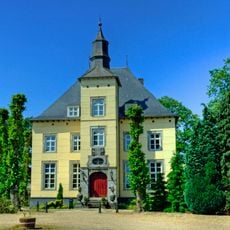
Kasteel Het Steenen Huys
1.5 km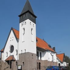
Sacred Heart church in Effeld
3.2 km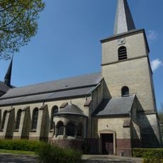
Sint-Matthiaskerk
2.4 km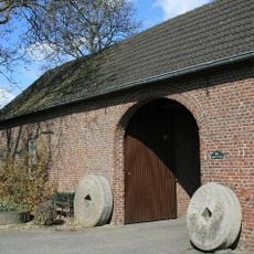
Wolfhager Mühle
2.5 km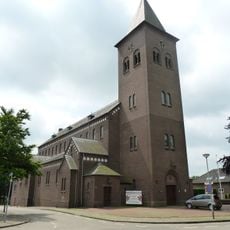
Sint-Martinuskerk
1.3 km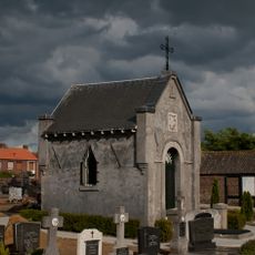
Geradts-Regout funerary chapel
2.1 km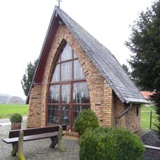
Chapel (Hingen)
2.7 km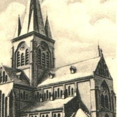
Sint-Matthiaskerk
2.3 km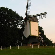
Prins Bernhard
2.5 km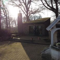
Onze-Lieve-Vrouw-van-Fatimakapel
2.9 km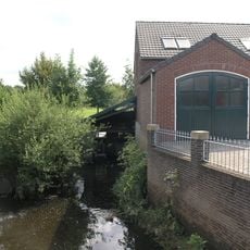
Vlodroppermolen
2 km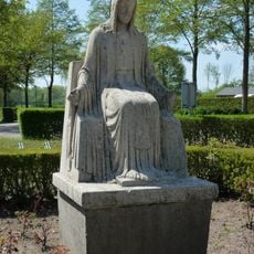
Statue of Sacred Heart of Jesus Christ
2.4 km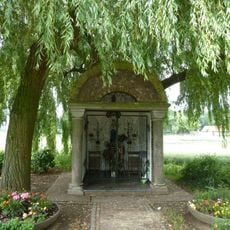
Mariakapel
1.4 km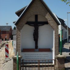
Kruiskapel Op de Donk
2.7 km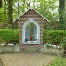
Mariakapel
1.6 km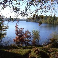
Effelder Waldsee
2.5 km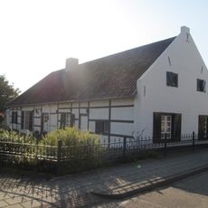
Burgemeester Geradtsstraat 3, Posterholt
2.7 km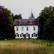
Frymerson castle: main building
3.7 km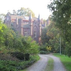
Aerwinkel Castle: main building
3.5 km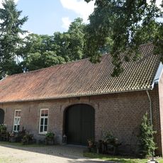
Aerwinkel Castle: tithe barn
3.5 km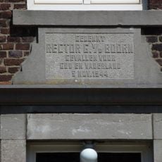
Monument voor rector E.A.G. van den Boorn
2.4 kmReviews
Visited this place? Tap the stars to rate it and share your experience / photos with the community! Try now! You can cancel it anytime.
Discover hidden gems everywhere you go!
From secret cafés to breathtaking viewpoints, skip the crowded tourist spots and find places that match your style. Our app makes it easy with voice search, smart filtering, route optimization, and insider tips from travelers worldwide. Download now for the complete mobile experience.

A unique approach to discovering new places❞
— Le Figaro
All the places worth exploring❞
— France Info
A tailor-made excursion in just a few clicks❞
— 20 Minutes