
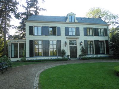
De Achterhoek, building in Deventer, Netherlands
Location: Deventer
Part of: De Achterhoek
Address: Colmschaterstraatweg 9
GPS coordinates: 52.25299,6.21830
Latest update: March 6, 2025 12:13

De Bannink
2.3 km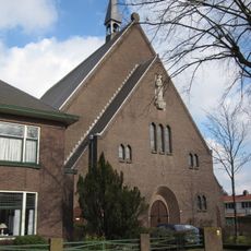
Johannes Vianneykerk
3.4 km
Linde
3.1 km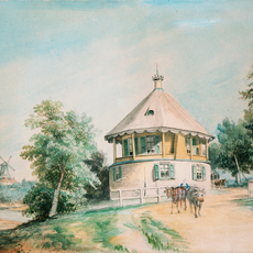
Koerhuis, Deventer
3.3 km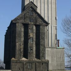
Grijze Silo
3.4 km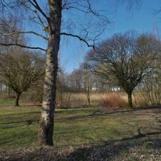
Schipbeekbad
2.1 km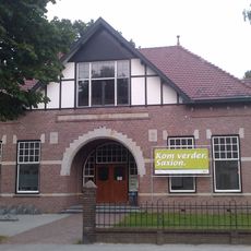
Tropisch Landbouwmuseum
3.4 km
Westenberg Kazerne
2.7 km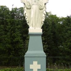
Statue of Sacred Heart of Jesus Christ
2.3 km
Wilhelminamonument
2.4 km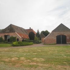
Oxersteeg 12, Deventer
2.5 km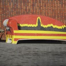
Social Sofa Veenweg
3.2 km
Boerderij met voorhuis in Chaletstijl
3.4 km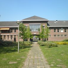
Poortgebouw van kazerne-complex (Westenberg Kazerne), vormgegeven in een zakelijke stijl
2.7 km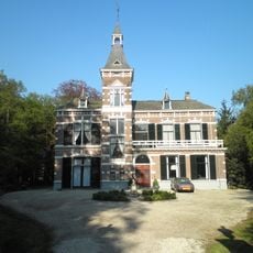
Het Bannink
2.3 km
Holterweg 113, Diepenveen
2.9 km
Untitled
3.4 km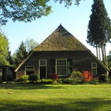
Erve De Achterhoek
148 m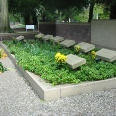
Nederlands grafmonument
3.3 km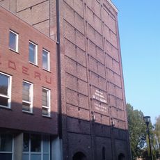
Bergpoortstraat 23, Deventer
3.5 km
Brinkgreverweg 69, Deventer
3.5 km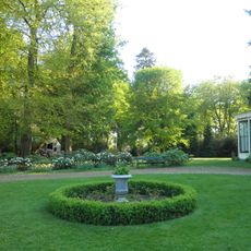
Tuin De Achterhoek: historische tuin- en parkaanleg
111 m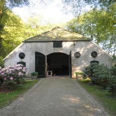
Koetshuis De Achterhoek
70 m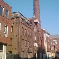
Fabrieksgebouw met zaadpakhuis
3.5 km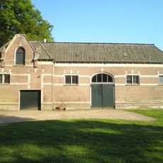
Koetshuis Het Bannink/dienstwoning
2.2 km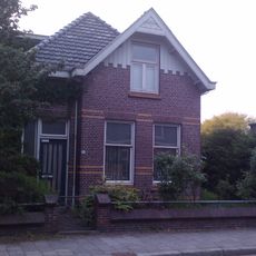
Dienstwoning school
3.5 km
Monument op landgoed ‘De Oxerhof’
2.7 km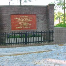
Twentolmonument
3.3 kmReviews
Visited this place? Tap the stars to rate it and share your experience / photos with the community! Try now! You can cancel it anytime.
Discover hidden gems everywhere you go!
From secret cafés to breathtaking viewpoints, skip the crowded tourist spots and find places that match your style. Our app makes it easy with voice search, smart filtering, route optimization, and insider tips from travelers worldwide. Download now for the complete mobile experience.

A unique approach to discovering new places❞
— Le Figaro
All the places worth exploring❞
— France Info
A tailor-made excursion in just a few clicks❞
— 20 Minutes