
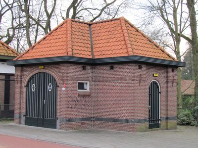
Voormalig brandspuithuisje gelegen aan de Arnhemseweg, Rijksmonument op Arnhemseweg 504
Location: Apeldoorn
Address: Arnhemseweg 504
GPS coordinates: 52.16237,5.96072
Latest update: March 3, 2025 09:06
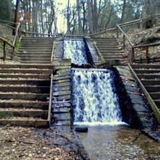
Waterfalls of the Vrijenberger Spreng
4.5 km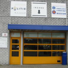
Nederlands Politiemuseum
1.7 km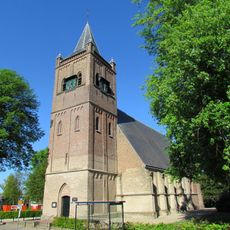
Nederlandse Hervormde kerk Beekbergen
400 m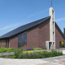
Eben-Haëzerkerk (Beekbergen, 2021)
576 m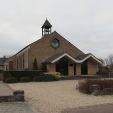
Eben-Haëzerkerk
577 m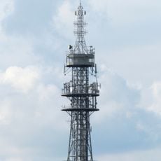
Zendstation Ugchelen
4.4 km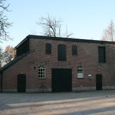
Ruitersmolen, Beekbergen
1.1 km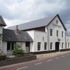
Tullekensmolen
743 m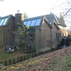
Bouwhofmolen
3.1 km
Dok Zuid
3.5 km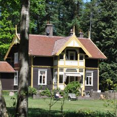
Huis Bruggelen
1.5 km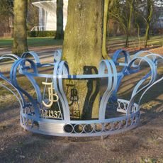
Julianaboom
896 m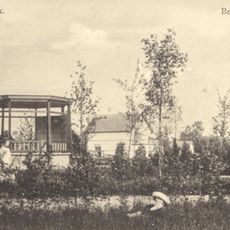
Muziektent Beekbergen
901 m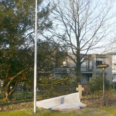
Verzetsmonument
865 m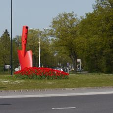
Rood schepje
1.8 km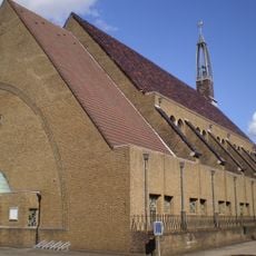
Sint-Fabianus en Sebastianuskerk
3.4 km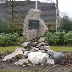
De Ugchelense Kei
3 km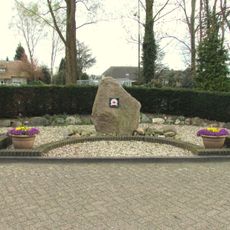
Bevrijdingsmonument
3.2 km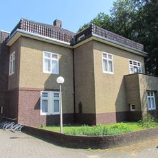
Pastorie bij Sebastiaankerk
3.4 km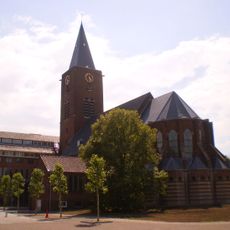
Kapel van Seminarie
3 km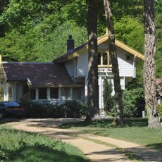
Vrijstaand houten woonhuis
1.5 km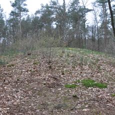
Grafheuvel #45186
3.3 km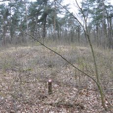
Grafheuvel #45187
3.1 km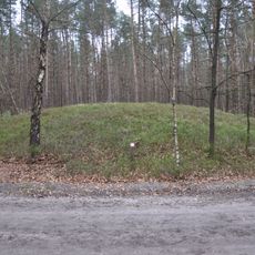
Grafheuvel #45188
2.5 km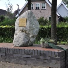
Bevrijdingsmonument
1.8 km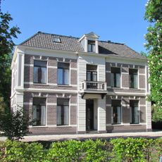
Pastorie behorende bij de naastgelegen Nederlandse Hervormde Kerk
452 m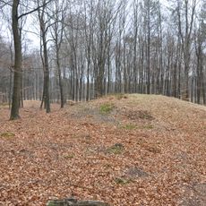
3 Grafheuvels
1.9 km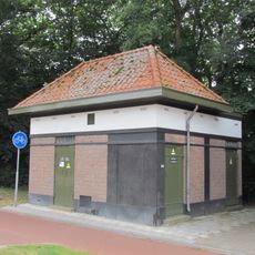
Transformatorhuisje type A3R
9 mVisited this place? Tap the stars to rate it and share your experience / photos with the community! Try now! You can cancel it anytime.
Discover hidden gems everywhere you go!
From secret cafés to breathtaking viewpoints, skip the crowded tourist spots and find places that match your style. Our app makes it easy with voice search, smart filtering, route optimization, and insider tips from travelers worldwide. Download now for the complete mobile experience.

A unique approach to discovering new places❞
— Le Figaro
All the places worth exploring❞
— France Info
A tailor-made excursion in just a few clicks❞
— 20 Minutes