
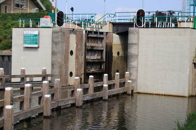
Voorstersluis, bridge in Netherlands
Location: Noordoostpolder
Part of: Complex Smeenge-Voorstersluis
GPS coordinates: 52.66853,5.93039
Latest update: March 6, 2025 23:51
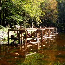
Waterloopbos
929 m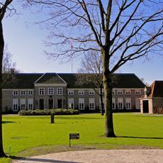
Oldruitenborgh
1.8 km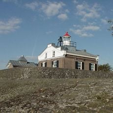
Lighthouse Kraggenburg
1.9 km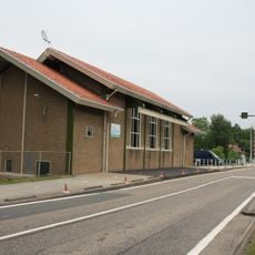
Gemaal Smeenge
44 m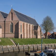
Grote of St. Nicolaaskerk
1.9 km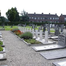
Vollenhove (Stad-Vollenhove) General Cemetery
1.7 km
Kerkplein 12, Vollenhove
1.9 km
Deltawerk //
1.3 km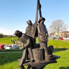
Durgerdammer vissers
1.8 km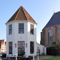
Town hall of Seidel
1.9 km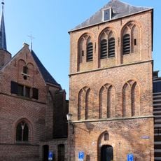
Grote of Sint-Nicolaaskerk
1.9 km
Oldruitenborgh
1.8 km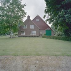
Kadoelerweg 14, Kraggenburg
1.5 km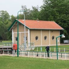
Schotbalkenloods Voorstersluis
39 m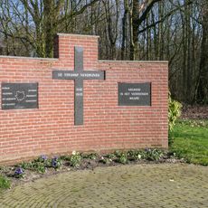
Oorlogsmonument
1.9 km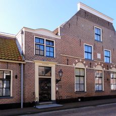
Marxveld
1.9 km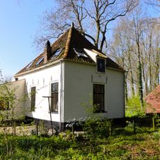
Oldruitenborgh, tuinmanswoning
1.8 km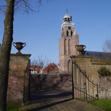
Oldruitenborgh, muur met poorten
1.9 km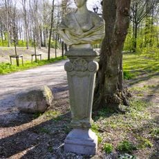
Oldruitenborgh, tuinsieraden
1.9 km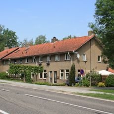
Dienstwoningen Voorstersluis
69 m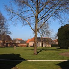
Oldruitenborgh, tuin en park
1.8 km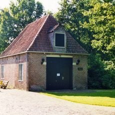
Koetshuis, Oldruitenborgh
1.8 km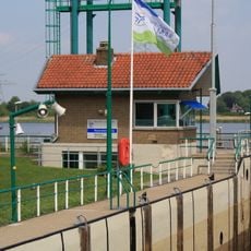
Sluiswachtershuisje Voorstersluis
37 m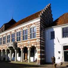
Hotel Seidel
1.9 km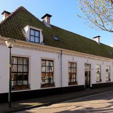
Bisschopstraat 20, Vollenhove
1.9 km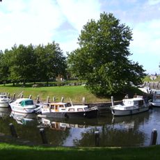
Oude Vissershaven
1.9 km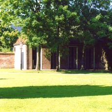
Oldruitenborgh, dienstwoning (Benthuis)
1.8 km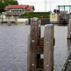
Complex Smeenge-Voorstersluis
15 mReviews
Visited this place? Tap the stars to rate it and share your experience / photos with the community! Try now! You can cancel it anytime.
Discover hidden gems everywhere you go!
From secret cafés to breathtaking viewpoints, skip the crowded tourist spots and find places that match your style. Our app makes it easy with voice search, smart filtering, route optimization, and insider tips from travelers worldwide. Download now for the complete mobile experience.

A unique approach to discovering new places❞
— Le Figaro
All the places worth exploring❞
— France Info
A tailor-made excursion in just a few clicks❞
— 20 Minutes