
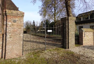
Langstraat 12, Tuil, Rijksmonument op Langstraat bij 12
Location: Neerijnen
Part of: Hervormde Kerk Tuil
Address: Langstraat bij 12
GPS coordinates: 51.82267,5.23931
Latest update: April 17, 2025 08:54
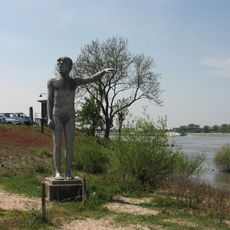
Waterhoogtebeeld
937 m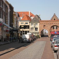
Waterpoort
1 km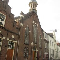
Eben-Haëzerkerk
1.1 km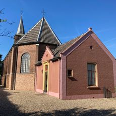
Hervormde Kerk Tuil
4 m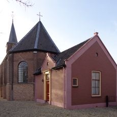
Hervormde kerk
4 m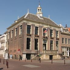
Town hall in Zaltbommel
1.1 km
Korte Steigerstraat 15, Zaltbommel
1.1 km
Waterstraat 38, Zaltbommel
1.1 km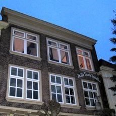
Waterstraat 36, Zaltbommel
1.1 km
Lange Steigerstraat 24, Zaltbommel
1.1 km
Markt 10, Zaltbommel
1.1 km
Sint Antoniestraat 2, Tuil
83 m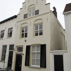
Korte Steigerstraat 17, Zaltbommel
1.1 km
Waalkade 6, Zaltbommel
1 km
Waalkade 22, Zaltbommel
1.1 km
Waterstraat 44, Zaltbommel
1.1 km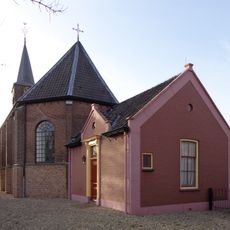
Consistorie
0 m
Pand met hoog schilddak en gepleisterde voorgevel
1 km
Lange Steigerstraat 22, Zaltbommel
1.1 km
Waterstraat 26, Zaltbommel
1.1 km
Pand, waarvan schildak aan de achterzijde tegen een puntgevel aansluit
1 km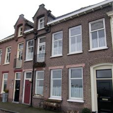
Waalkade 26, Zaltbommel
1.1 km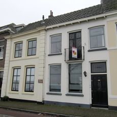
Waalkade 24, Zaltbommel
1.1 km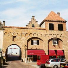
Waterstraat 46, Zaltbommel
1 km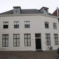
Tolstraat 15, Zaltbommel
1 km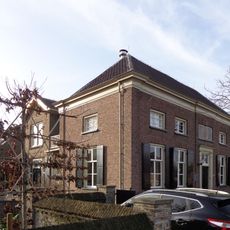
Langstraat 11, Tuil
98 m
Langstraat 14, Tuil
24 m
Pand met verdieping en hoog schilddak, dat aan de achterzijde aansluit tegen een trapgevel
1 kmReviews
Visited this place? Tap the stars to rate it and share your experience / photos with the community! Try now! You can cancel it anytime.
Discover hidden gems everywhere you go!
From secret cafés to breathtaking viewpoints, skip the crowded tourist spots and find places that match your style. Our app makes it easy with voice search, smart filtering, route optimization, and insider tips from travelers worldwide. Download now for the complete mobile experience.

A unique approach to discovering new places❞
— Le Figaro
All the places worth exploring❞
— France Info
A tailor-made excursion in just a few clicks❞
— 20 Minutes