
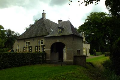
Wamberg: historische buitenplaats, building in Sint-Michielsgestel, Netherlands
Location: Sint-Michielsgestel
Part of: Wamberg
Address: Wamberg 10A 5258SM
GPS coordinates: 51.69559,5.37322
Latest update: March 7, 2025 23:53
Complex Coudewater
668 m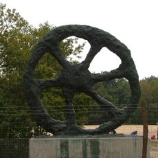
Zandverstuiving Rosmalen
1.8 km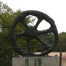
Wiel van Rosmalen
1.7 km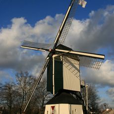
Post mill Rosmalen
1.8 km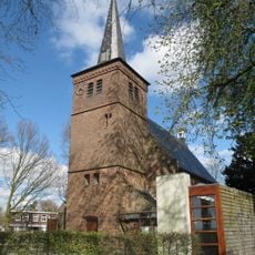
Nederlands Hervormde Kerk, Berlicum
1.5 km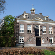
Raadhuisplein 8, Berlicum
1.6 km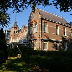
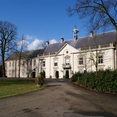
Coudewater (Rosmalen)
935 m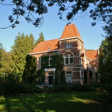
Coudewater: voormalige villa voor heren, later genoemd paviljoen "De Loofert"
935 m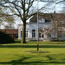
Villa Zuiderbosch
1.9 km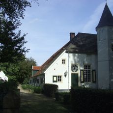
Loofaert 1, Berlicum
719 m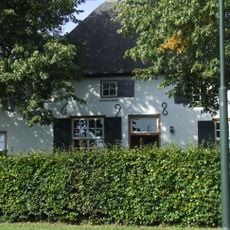
Loofaert 47, Berlicum
1.8 km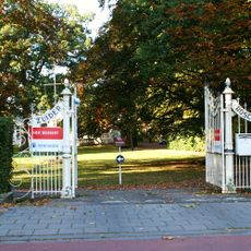
Villa Zuiderbosch
1.9 km
Coudewater: psychiatrische inrichting en klooster
509 m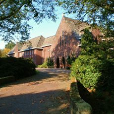
Coudewater. cloister and chapel
935 m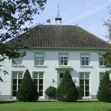
Huis Veebeek
1.7 km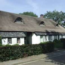
Loofaert 25, Berlicum
1.3 km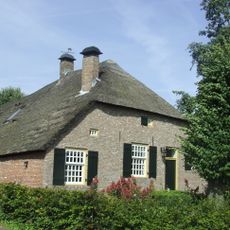
Loofaert 27, Berlicum
1.3 km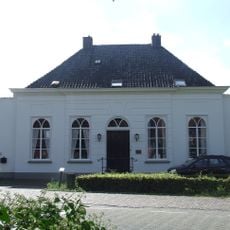
Raadhuisplein 18, Berlicum
1.6 km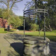
Wamberg: put
36 m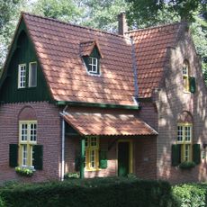
Wamberg: dienstwoning
195 m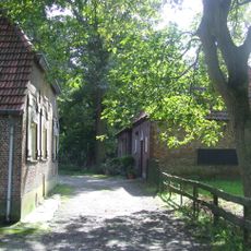
De Kleine Wamberg
243 m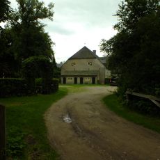
Wamberg: Grote Wamberg
39 m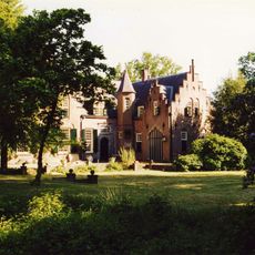
Wamberg: historische tuin- en parkaanleg
395 m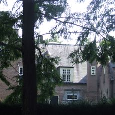
Wamberg: landhuis
100 m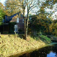
Coudewater: voormalige directeurswoning
785 m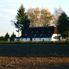
Maliskampsestraat 51, Rosmalen
1.2 km
Wamberg: hek op dam
101 m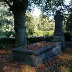
Coudewater: grafmonumenten
1.5 kmVisited this place? Tap the stars to rate it and share your experience / photos with the community! Try now! You can cancel it anytime.
Discover hidden gems everywhere you go!
From secret cafés to breathtaking viewpoints, skip the crowded tourist spots and find places that match your style. Our app makes it easy with voice search, smart filtering, route optimization, and insider tips from travelers worldwide. Download now for the complete mobile experience.

A unique approach to discovering new places❞
— Le Figaro
All the places worth exploring❞
— France Info
A tailor-made excursion in just a few clicks❞
— 20 Minutes