
Oudebildtdijk 433, Sint Annaparochie, Rijksmonument op Oudebildtdijk 433
Location: het Bildt
Address: Oudebildtdijk 433 9076GM 9076GM
GPS coordinates: 53.29397,5.64912
Latest update: March 5, 2025 09:54


Van Harenskerk
2 km
De Slikwerker
2.3 km
Municipality building het Bildt
2 km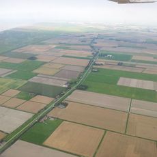
Ooster Bildtpollen
1.3 km
H.G. Miedemagemaal
2.3 km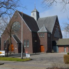
Gideonkerk, Sint Annaparochie
2.1 km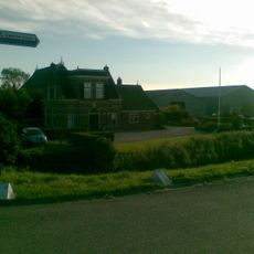
Wester Bildtpollen
674 m
Rijksbeschermd gezicht Oude en Nieuwe Bildtdijken
945 m
Kerk tussen de Dijken
440 m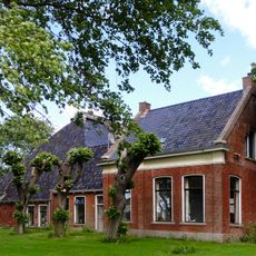
Koudeweg 40, Sint Jacobiparochie
1.2 km
't Weeskind
1.1 km
Oudebildtdijk 331, Sint Annaparochie
636 m
Van Harenstraat 18, Sint Annaparochie
2 km
Stadhoudersweg 75, Sint Annaparochie
806 m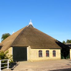
Stadhoudersweg 80, Sint Annaparochie
353 m
Middelweg-Oost 157, Sint Annaparochie
2.2 km
Van Harenstraat 124, Sint Annaparochie
2.1 km
Van Harenstraat 26, Sint Annaparochie
2.1 km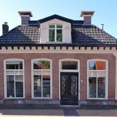
Van Harenstraat 24, Sint Annaparochie
2.1 km
Evacuatie van Venlo
2.1 km
Oudebildtdijk 201, Sint Annaparochie
2.1 km
Wassenberghstraat 2, Sint Annaparochie
2 km
Van Harenstraat 8, Sint Annaparochie
2 km
Oudebildtdijk 770, Sint Annaparochie
2.4 km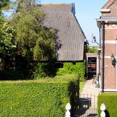
Strandhuis "Den Bildtpollen", schuur
1.5 km
Strandhuis Den Bildtpollen
1.5 km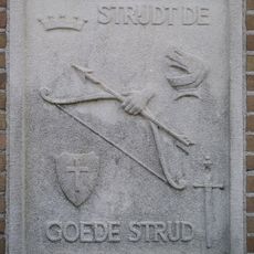
Strijdt de goede strijd
1.9 km
Van Harenstraat 14, Sint Annaparochie
2.1 kmReviews
Visited this place? Tap the stars to rate it and share your experience / photos with the community! Try now! You can cancel it anytime.
Discover hidden gems everywhere you go!
From secret cafés to breathtaking viewpoints, skip the crowded tourist spots and find places that match your style. Our app makes it easy with voice search, smart filtering, route optimization, and insider tips from travelers worldwide. Download now for the complete mobile experience.

A unique approach to discovering new places❞
— Le Figaro
All the places worth exploring❞
— France Info
A tailor-made excursion in just a few clicks❞
— 20 Minutes